
Why go
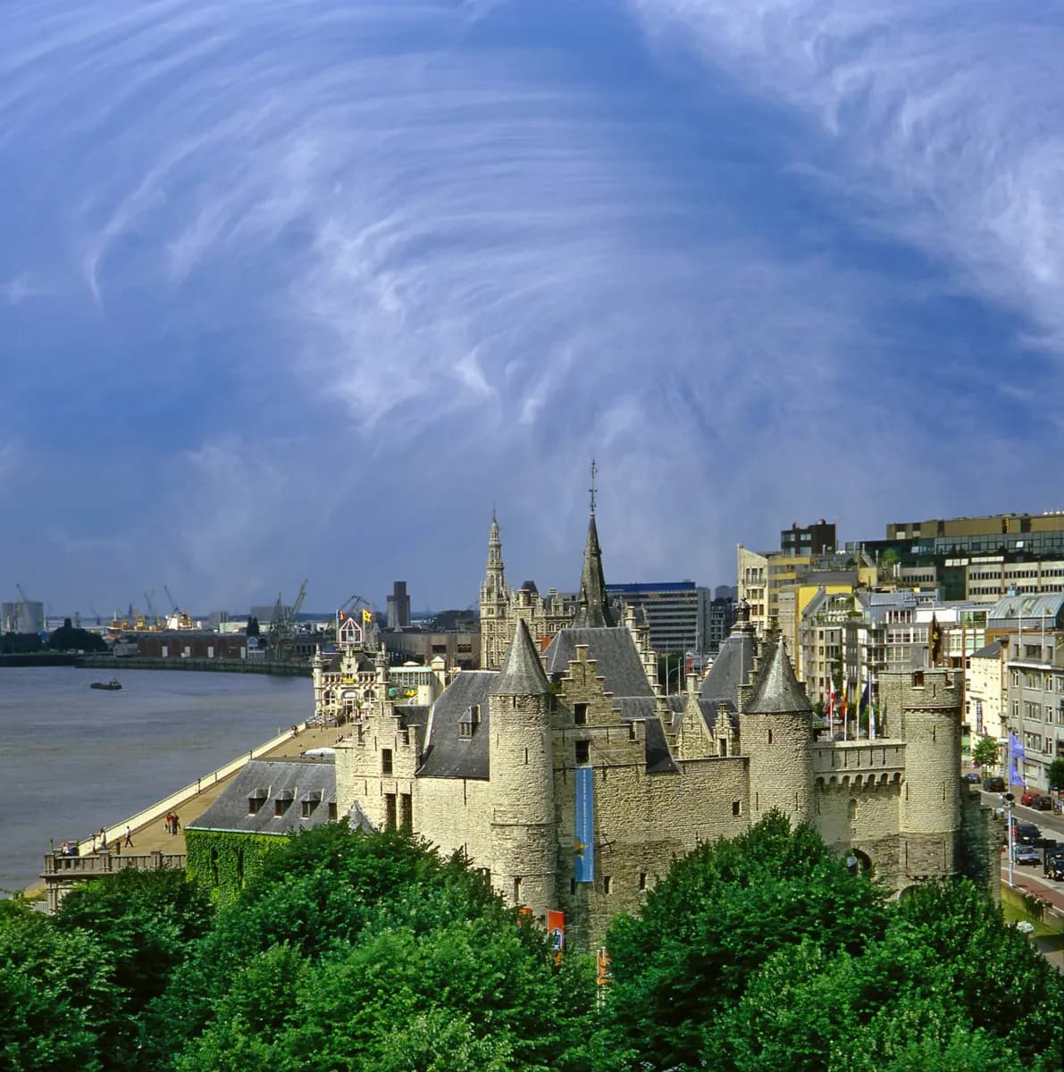
Near the Vleeshuis, traces of an early wall and the name Burchtgracht point back to the first riverside enclosure. Het Steen evokes the old fortified waterfront, while later canal names and broad boulevards mark defensive lines that have been covered or removed.
The full story
Antwerp defended itself in several expanding rings as its trade and population grew. The earliest enclosure guarded a small area beside the Scheldt. Later, tidal canals carried barges and also helped define the town's edge. As the city spread, new works pushed outward, including sixteenth-century fortifications and nineteenth-century rings of forts. Building projects, changes to the port and the covering of canals erased much of this pattern at ground level. The old centre therefore asks for a different kind of looking. Around Burchtgracht and the Vleeshuis are clues to the first wall. Street names containing rui or vliet recall the waterways, though they do not guarantee that an open canal remains. Het Steen belongs to the fortified riverside story, but its present appearance reflects later rebuilding. Farther out, the broad line of Italiëlei, Frankrijklei, Britselei and Amerikalei follows a former defensive edge. These fragments help place today's streets within a much larger, mostly vanished system.