
Why go
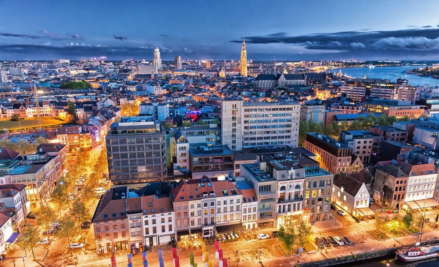
The river is more than a waterfront backdrop. Its navigable channel made Antwerp a port, kept bridge crossings away from the centre and shaped how people move between banks. Seeing the Scheldt alongside the old centre makes the city’s trading history and modern layout easier to read.
What to look for
- The Scheldt widens through the city on its way to the Westerschelde and North Sea.
- Central river crossings use tunnels, leaving the shipping channel open.
- The port extends Antwerp’s urban geography northwards toward the Dutch border.
The full story
Antwerp sits on the Scheldt before the river reaches the Westerschelde and the North Sea. Here the waterway is wide enough for seagoing ships, so the city’s central crossings run beneath it. That explains a feature visitors may find surprising: the two banks face each other, but there is no bridge across the river in the centre. The old town occupies a relatively compact area beside the water, while the municipality also includes districts well beyond it, such as Berchem, Borgerhout, Deurne and Hoboken. Northwards, the port reaches toward the Dutch border. Looking at this geography helps connect the waterfront, the commercial city and the wider transport network. Antwerp also sits between Brussels to the south and Rotterdam to the north, a position that reinforces its role as a meeting point for rail, road and maritime routes.
Useful to know
- Treat the Left Bank as a separate crossing from the old centre; use a river tunnel rather than looking for a central bridge.
- Use the Scheldt waterfront to orient yourself before moving inland through the compact historic core.