
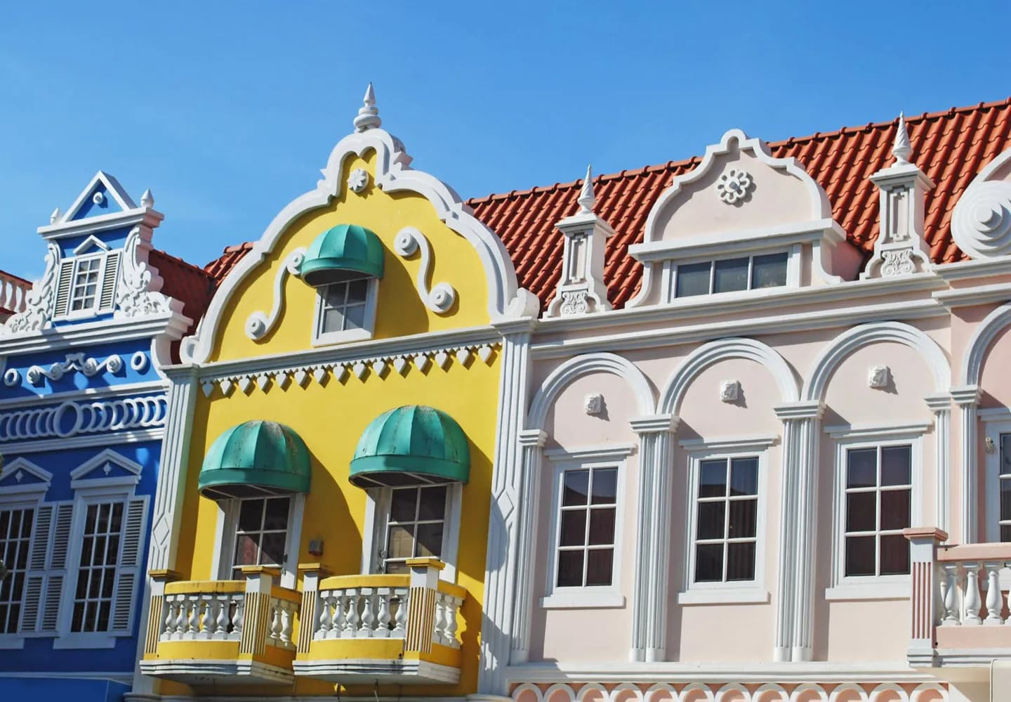
Why go
Start with the island’s geography before planning beach and inland days. Aruba belongs to the Kingdom of the Netherlands and forms the ABC island group with Bonaire and Curaçao. Oranjestad is its capital, while the cactus-strewn interior and exposed north shore show why an island map is more useful than a single beach image.
The full story
Aruba is one of the constituent countries of the Kingdom of the Netherlands, alongside the Netherlands, Curaçao and Sint Maarten. It is also one of the ABC islands, grouped with Bonaire and Curaçao in the southern Caribbean. Those relationships help explain Dutch influences in public life, but Aruba has a landscape of its own. Low rainfall supports cacti and scrub across much of the interior. Sandy stretches on the west and south coasts are relatively sheltered, while the north and east face rougher seas. Oranjestad provides an urban starting point for the island. From there, a trip inland or to the exposed coast quickly changes the view. This contrast is useful when deciding where to swim, where to walk, and where to stop mainly for the scenery.