
Why go
Understanding the island's physical structure makes travel decisions clearer. The central volcanic spine divides rainfall and road routes, young lava and ash enrich cultivated slopes, limestone shapes the Bukit Peninsula and Nusa Penida, and deep straits separate Bali's ecology from islands farther east.
The full story
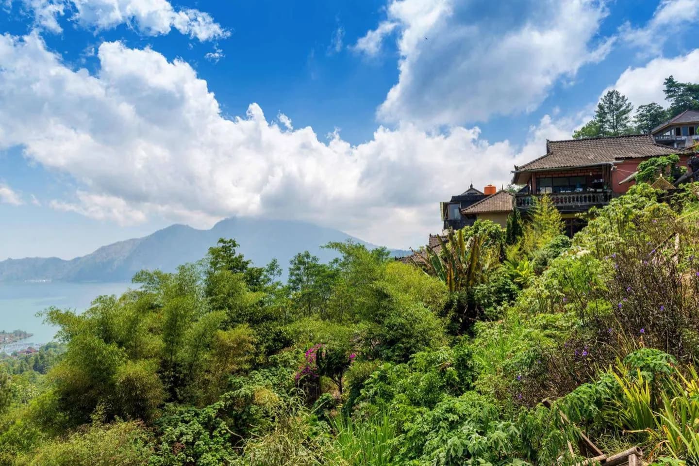
Bali lies where the Indo-Australian plate moves beneath the Sunda Plate, feeding the volcanic arc that runs across Indonesia. A line of peaks dominates the island from west to east. Mount Agung is the highest and most sacred; the Batur caldera holds a younger active cone and Bali's largest crater lake. Volcanic ash and abundant water create fertile soils on many southern slopes, supporting intensive rice cultivation. Rivers cut narrow ravines as they descend, which is why short map distances around Ubud can involve steep terrain. The Bukit Peninsula has a different character: uplifted limestone produces drier vegetation, pale cliffs and pocket beaches. Bali's northern coast drops more quickly into deeper water, while broad southern plains hold the capital, airport and largest resort districts. East of the island, the Lombok Strait marks the Wallace Line region, a major biogeographic transition between predominantly Asian and Australasian species.