
Why go
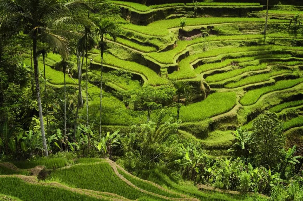
The landscape explains how farming, ritual and shared water management fit together. Follow the terraces from canals to shrines and villages, then compare cultivated slopes with the forested water sources above them. The strongest visits slow down enough to see irrigation choices and farming work behind the famous green geometry.
What to look for
- Contour-following terraces turn steep slopes into connected fields.
- Canals, tunnels and weirs distribute water through many separately worked plots.
- Water temples link agricultural decisions with the philosophy of Tri Hita Karana.
The full story
Subak is both visible infrastructure and social organization. Water flows from springs and rivers through temples, canals, tunnels and weirs before reaching rice plots managed by different farmers. Cooperative groups negotiate that distribution, coordinate planting and maintain the system. UNESCO's listed cultural landscape brings together five representative areas, including the Catur Angga Batukaru terraces and the water temple of Pura Ulun Danu Batur. Their importance lies in the connections between them, not in a single postcard field. The system expresses Tri Hita Karana, a Balinese philosophy concerned with balance among the spiritual realm, people and nature. As you look across the terraces, notice how field walls follow contours and how shrines appear within working agricultural space. The landscape is continually maintained, and its beauty is a result of collective labor as much as volcanic soil and rainfall.
Useful to know
- Stay on marked paths and field edges; these are productive farms rather than a designed park.
- Use sun and rain protection, since shelter can be limited once you leave village roads.
Your next visit
Estimated · Declared scenario and planning estimates; no live opening, weather, queue or booking service.
Outdoor visit · 90–180 min
World planning estimate; admission, opening, visit duration and access need checking.