
Why go
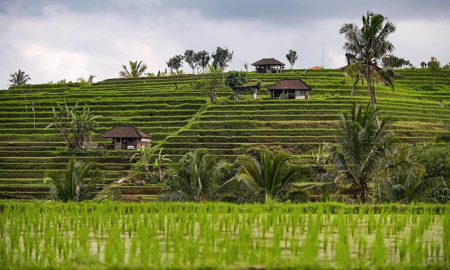
Jatiluwih gives the current guide a precise place for understanding Bali's UNESCO-listed subak landscape. Long terrace lines, canals, shrines and active farming can be followed on foot at several scales. The visit deserves more than a roadside photograph because the water system becomes clearer once you move between field levels.
What to look for
- Terrace walls follow broad contours across the Batukaru foothills.
- Irrigation channels connect active plots, field shrines and village edges.
- Walking loops reveal how the pattern changes with elevation and crop stage.
The full story
Jatiluwih lies within the Catur Angga Batukaru component of Bali's UNESCO-listed cultural landscape. Its terraces are not a preserved display. Farmers and subak associations continue to coordinate water, planting and maintenance across a working landscape. Water begins in the forested highlands, passes through temples and channels, and reaches plots managed by different households. That connection between environment, ritual and cooperation expresses the principle of Tri Hita Karana. The visible geometry changes with seasons, crop cycles and repairs, so no single green panorama defines the site. Follow a marked route long enough to see water move between levels and to notice small shrines embedded in productive land. Tourism adds pressure to the same fields it celebrates, making respectful path use and locally managed access part of the visit.
Useful to know
- Stay on signed paths and avoid blocking farmers or stepping into planted fields.
- Bring water, sun protection and a rain layer; open paths offer limited shelter.
Your next visit
Estimated · Declared scenario and planning estimates; no live opening, weather, queue or booking service.
Outdoor visit · 90–180 min
World planning estimate; admission, opening, visit duration and access need checking.