
Why go
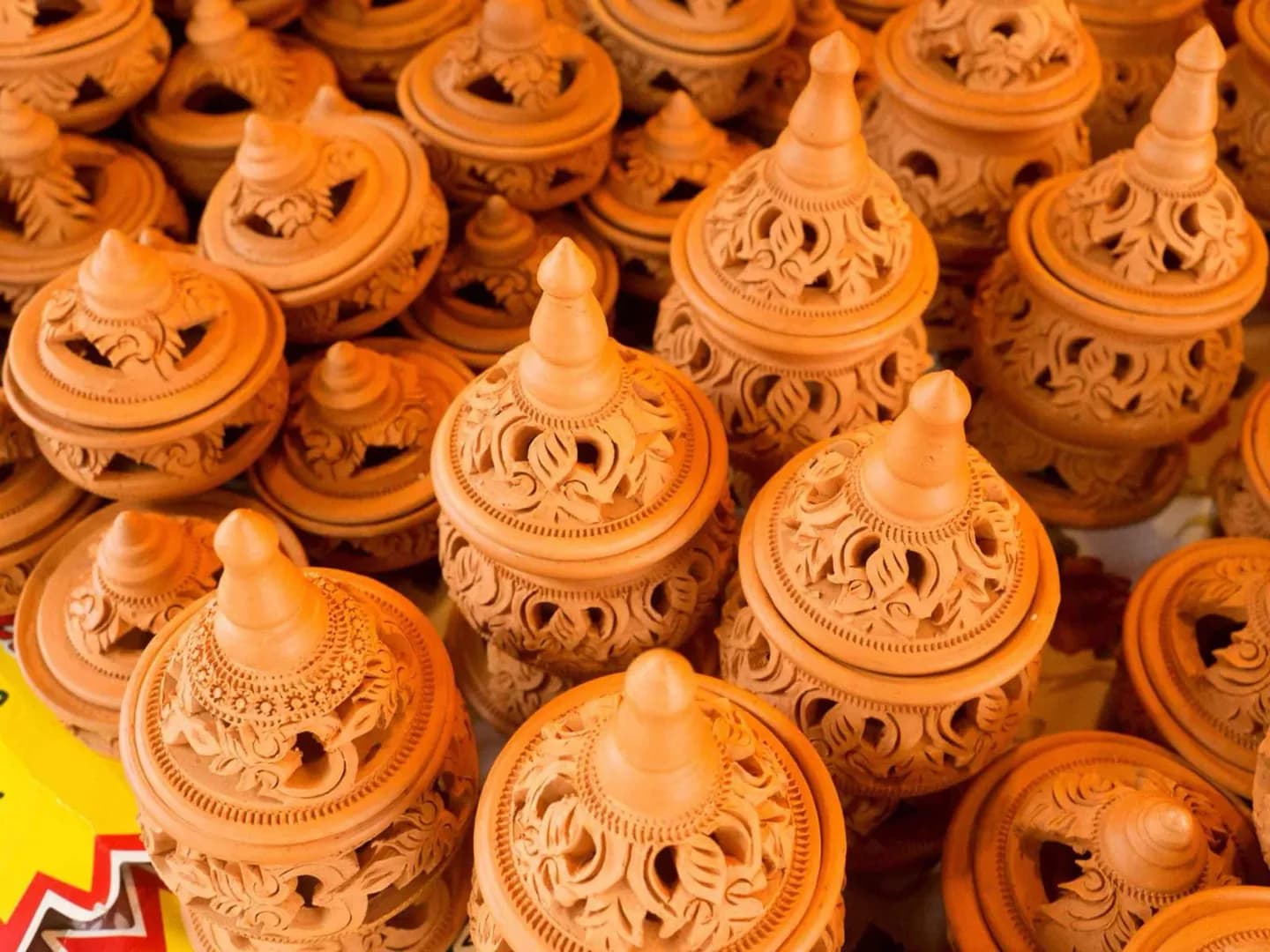
Ko Kret combines an unusual river-made landscape with a strong local cultural identity. Its villages, Mon heritage and closely spaced temples make the island more rewarding as a settled community than as a single landmark. The closely spaced temples and pottery traditions give the river-made island a lived-in cultural texture.
What to look for
- Learn how a canal cut in 1722 separated the island from a river meander.
- Visit temple sites including Wat Poramai Yigawat and Wat Phailom.
- Look for locally made products and traditional desserts across the island villages.
The full story
Ko Kret is a compact island in the Chao Phraya River in Nonthaburi, measuring roughly three kilometers in each direction. It took shape in 1722 when a canal was cut across a bend in the river, leaving the former meander separated as an island. Seven villages occupy the land, with Ban Mon the largest, reflecting the island’s close association with Mon community life. Religious sites include Wat Poramai Yigawat, Wat Phailom, Wat Sao Thong Thong and Wat Chimphi. Local products and desserts add another layer to the visit, connecting domestic craft and food with the settled landscape. The island is reached by ferry, so its river setting is part of the experience rather than a backdrop. Present ferry schedules and visitor arrangements remain unverified; travelers should confirm them before departure and approach Ko Kret as a living community with several dispersed stops.
Useful to know
- Confirm current ferry operations and landing points before setting out.
- Plan the visit around the island’s villages rather than one central attraction.
- Verify individual temple access and vendor schedules, which are not established here.
Your next visit
Estimated · Declared scenario and planning estimates; no live opening, weather, queue or booking service.
Outdoor visit · 30–45 min
World planning estimate; admission, opening, visit duration and access need checking.