Tours & Travel

From the Barbados World / Stories

Why Barbados has caves and gullies

Barbados's limestone helps explain its caves, gullies and stepped terrain. The contrast is easiest to grasp by comparing Harrison's Cave with the open landscape of the Scotland District.

Why Barbados has caves and gullies

Barbados / Your next move

Bring this chapter to life.

Keep exploring Barbados with our travel partners.

Why go

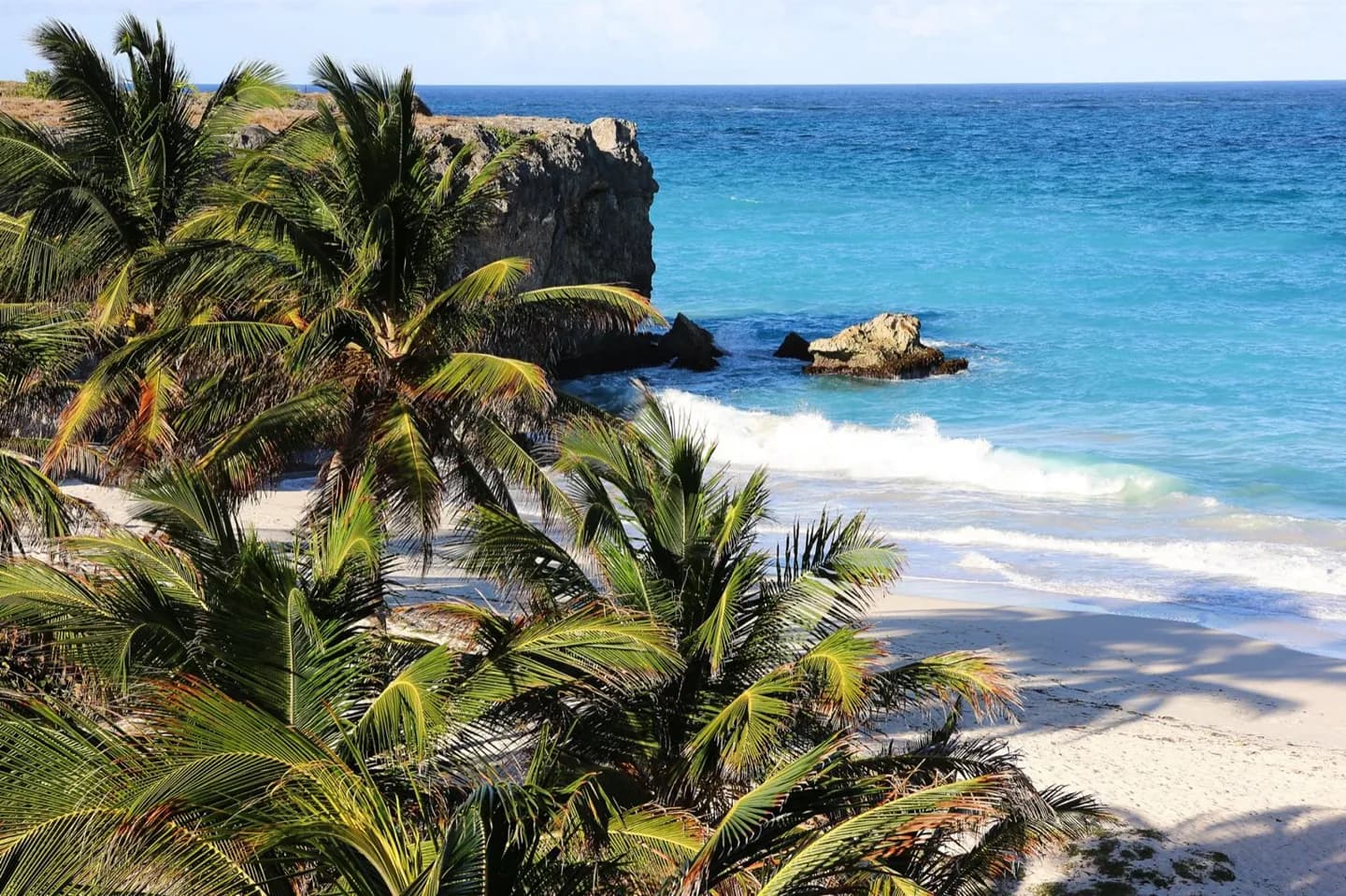
The island's landforms show what water can do above and below ground. Rain moves through limestone, carving underground passages such as Harrison's Cave and helping shape gullies including Welchman Hall Gully. Uplift and erosion also produced the island's terraces and the more broken terrain around the Scotland District. On the east coast, waves continue to work on the exposed shore. Seeing a cave and a surface landform on the same trip makes the geology more than a map label.

What to look for

  • Harrison's Cave shows water-cut passages inside limestone.
  • Welchman Hall Gully reveals a different limestone landform at the surface.
  • The Scotland District has a more rugged profile than the gentler western slopes.

Original World content and translations, shown as supplied. Practical information may need updating.

Barbados / Tours & Travel

My day 00

Collect a few stops, adjust the time and put them in an order that works for you.

Saved in this browser, on this device. Shared across the nine languages.

Barbados, in sync.

My plans changed

Tell this moment what changed above. I will offer a new draft of My day, keeping what fits in order.

How do you feel? ↗

Loading your Barbados…

Tours & Travel / Barbados

Every city deserves a local voice.

The ambassador programme is being shaped with guides and creators. For now, explore the original World and tell us what Barbados needs next.

Talk to us about Barbados