
Why go
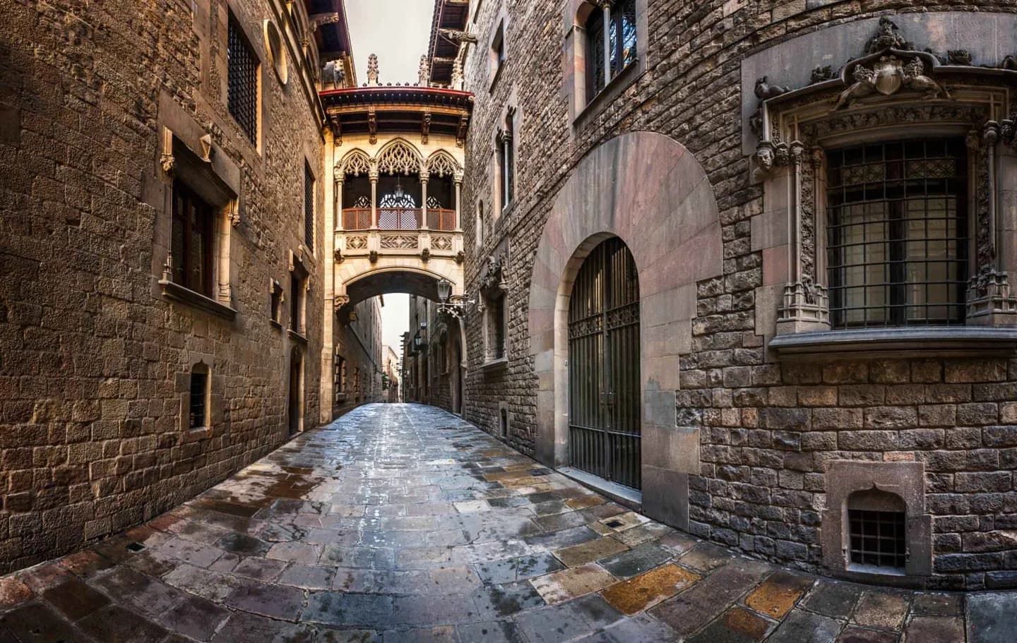
Knowing the main turning points makes the city’s contrasts clearer. A Roman street plan, medieval stonework and nineteenth-century avenues are close enough to compare in one visit, while Montjuïc and later districts reveal how the city continued to grow. Each district gives a different part of the answer.
The full story
The Barcelona plain held communities before the Romans founded Barcino. The colony was modest compared with Tarraco, but its walls and street layout left a lasting mark on the old centre. The city later held importance under Visigothic rule. After a brief period under Muslim control, it became part of the Carolingian frontier and then the centre of the County of Barcelona. Its role within the Crown of Aragon helped make it a Mediterranean trading city, reflected in its medieval churches and civic core. Royal power shifted toward Castile after the union of the crowns, and Barcelona lost political autonomy after the War of the Spanish Succession. Industrial growth and the nineteenth-century expansion then pushed the city beyond its walls. Eixample and the rise of Modernisme belong to that phase. In the twentieth century, the Civil War brought division and bombing; Franco’s dictatorship suppressed Catalan public institutions and language use. Democratic change restored Catalan autonomy, while the 1992 Olympics reshaped parts of the city. These layers explain why Barcelona’s streets change character so quickly.