
Why go
Understanding the port makes the city easier to read on foot. Bristol Harbour, the old trading streets and the later engineering landmarks are parts of one story, but they are spread across distinct areas. Start at the quays for maritime context, then choose either the civic centre or the gorge instead of treating the whole city as a single short walk.
The full story
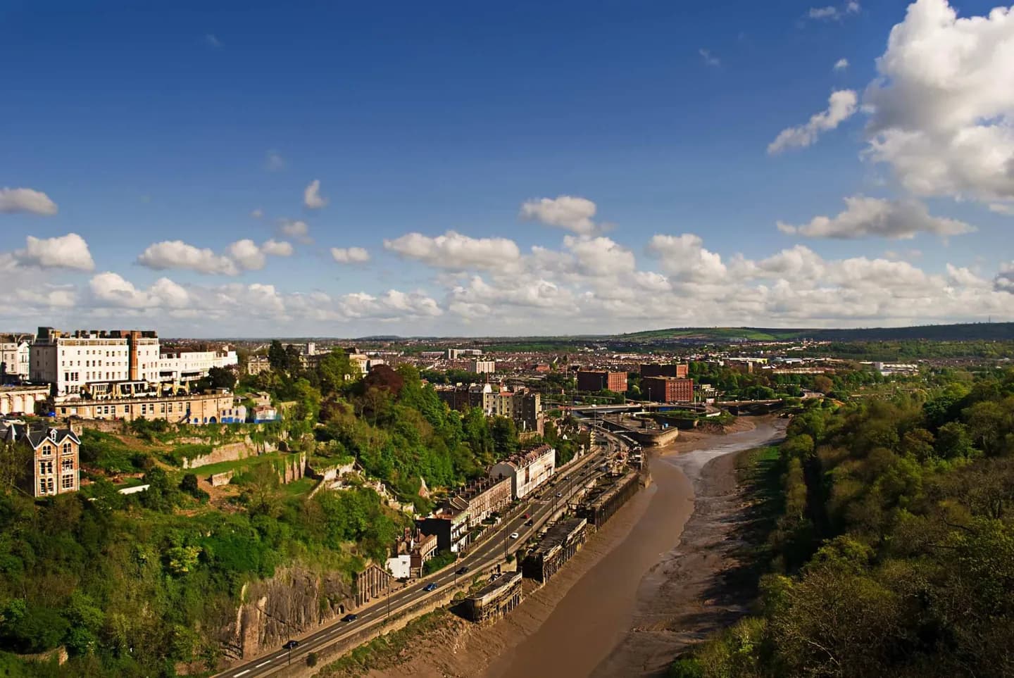
Bristol’s position on the Avon gave it a link to the sea and made trade central to its development for centuries. The city gained a royal charter in the twelfth century and grew into one of England’s major medieval ports. The tidal river and narrow gorge protected the harbour but later made access difficult for larger ships. An engineered Floating Harbour held water at a steadier level; much of the old central dock area has since taken on cultural and public uses. Look for that change around the quays, where a former working waterfront now joins museums, galleries and performance spaces. The city also grew up steep ground away from the water. Park Street climbs towards the university buildings, while Clifton leads to the suspension bridge and open gorge views. These changes in level explain why nearby-looking districts can feel like separate walks.
Useful to know
- Use the harbour as the easiest starting point for the city’s maritime story.
- Allow extra walking time for the rise from the centre towards Park Street and Clifton.