
Why go
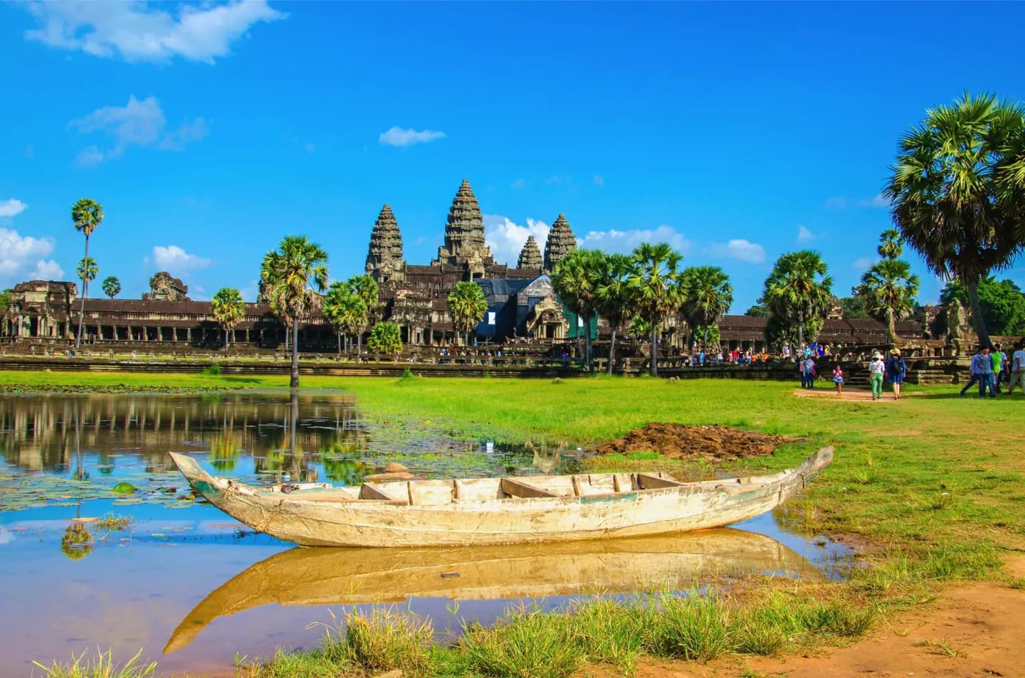
The monsoon changes a trip more than the calendar alone suggests: open temple grounds can feel hot before the rains, lowland water levels rise later in the year, and the southwestern mountains receive much heavier rain than the central basin. Build flexibility into exposed days.
The full story
Cambodia's seasonal rhythm comes from the monsoon. Moist southwest winds usually bring most rain from roughly May into October. Drier northeast winds prevail for much of November through March. The change is gradual, so dates are a planning guide rather than a promise of clear or rainy days. Heat is a year-round consideration in the lowlands, with especially hot conditions possible just before the rains begin. The Tonlé Sap basin has relatively little temperature variation compared with its seasonal change in water and humidity. Rainfall varies much more by location: the southwestern mountains intercept moisture arriving from the sea and are markedly wetter than the central plain. That difference matters when combining Angkor or Phnom Penh with a coast or mountain leg. Later wet-season water also expands Tonlé Sap and changes the appearance of its shore. A useful plan treats climate as part of the experience, leaving room to adjust exposed walks and journeys when conditions differ from the seasonal norm.
Useful to know
- For Angkor and other exposed sites, start outdoor walking earlier in the day during the hottest months.
- Allow weather flexibility for southwestern mountain and coastal travel during the rainy season; rainfall is heavier there than around Tonlé Sap.
- If your plans depend on a boat or a particular water level, check local conditions close to departure.