
Why go
Use the town to explore different parts of the national park rather than treating it as a single viewpoint. Pyramid Lake, Maligne Lake and the Icefields Parkway lead in different directions, so a short stay benefits from choosing one area at a time.
What to look for
- Rocky Mountain ranges frame the Athabasca River valley.
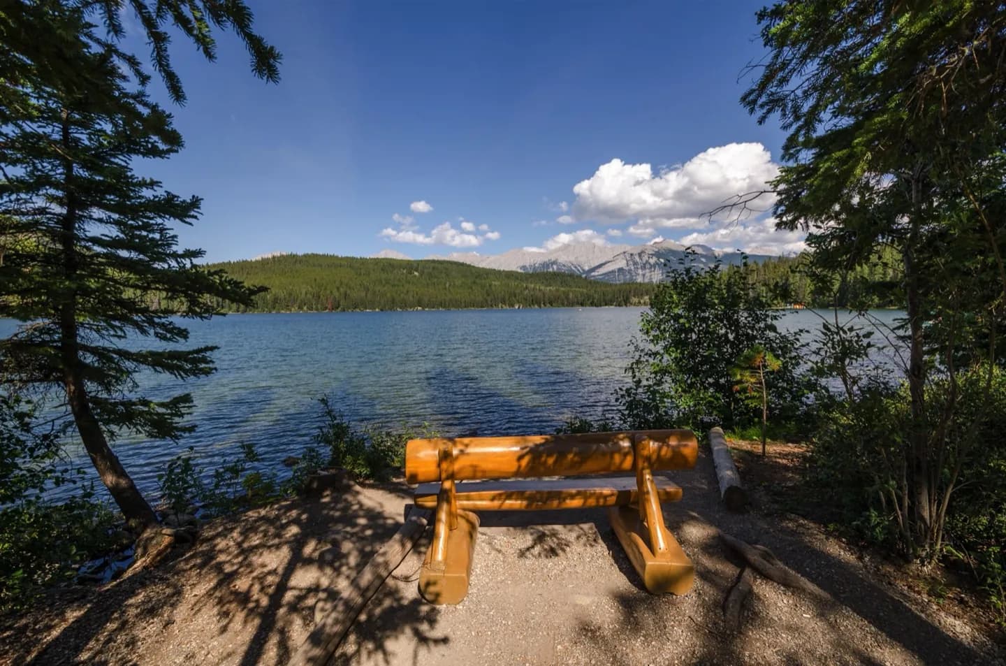
- Pyramid Lake lies north of town, while Maligne Lake is a longer excursion.
- The Icefields Parkway leads south toward the Columbia Icefield.
The full story
Jasper's name reaches back to Jasper House, a fur trade post on a route linking the Prairies with the west. The national park was established in 1907, and railways soon made the valley a practical arrival point for visitors. The road from Edmonton and, later, the Icefields Parkway broadened access to the surrounding mountains. These layers explain the town's role today: it is a service base within a protected landscape, connected to both rail and road routes. The Athabasca and Miette rivers meet near the town, while distinct mountain ranges rise on every side. The surrounding lakes and valleys are not one compact attraction; they are separate excursions from a central settlement. That geography should guide the length and shape of a visit.
Useful to know
- Choose one lake or park corridor for a half-day rather than trying to cover every named sight.
- Check current park access and road conditions before setting out, particularly for longer mountain drives.