
Why go
This route suits visitors interested in how Chiang Mai’s riverside neighborhoods brought different communities together. Start outside Attaqwa Mosque; do not assume that a general sightseeing visit inside is available. Wat Ket Karam adds the temple and local heritage of the east bank. Warorot Market then shifts the day toward the trading streets near the river. End at Wat Saen Fang, another temple on the eastern streets. The walks between stops are short, leaving room to browse the market at your own pace. Stay respectful around active places of worship and check locally before entering any building.
The route, stop by stop
World itinerary estimate: 105–265 min
Times are planning estimates. Unknown visit durations start at an editable 30 minutes; access is checked separately.
- 01
Main stop · 18–30 min
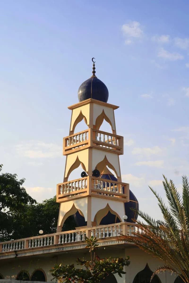
Attaqwa Mosque
Attaqwa Mosque serves the San Pa Koi community east of the Ping River. Its mosque and Islamic school are community institutions, with tourist access unconfirmed.
Explore Walk · 8 min · Estimated
02Main stop · 30–50 min
Wat Ket Karam
Wat Ket Karam is a temple in the Wat Ket riverside neighborhood. Its compound and local heritage displays connect a temple visit with the history of communities east of the Ping River.
ExploreWalk · 6 min · Estimated
03Main stop · 36–60 min
Warorot Market
Warorot Market is a large local market near the Ping River. Food, produce, and dry-goods stalls offer a daytime look at everyday shopping in central Chiang Mai.
ExploreWalk · 5 min · Estimated
04Main stop · 21–35 min
Wat Saen Fang
Wat Saen Fang stands along Tha Phae Road east of the old-city gate. Its temple buildings and history make a cultural pause on a route toward the Ping River.
Explore