
Why go
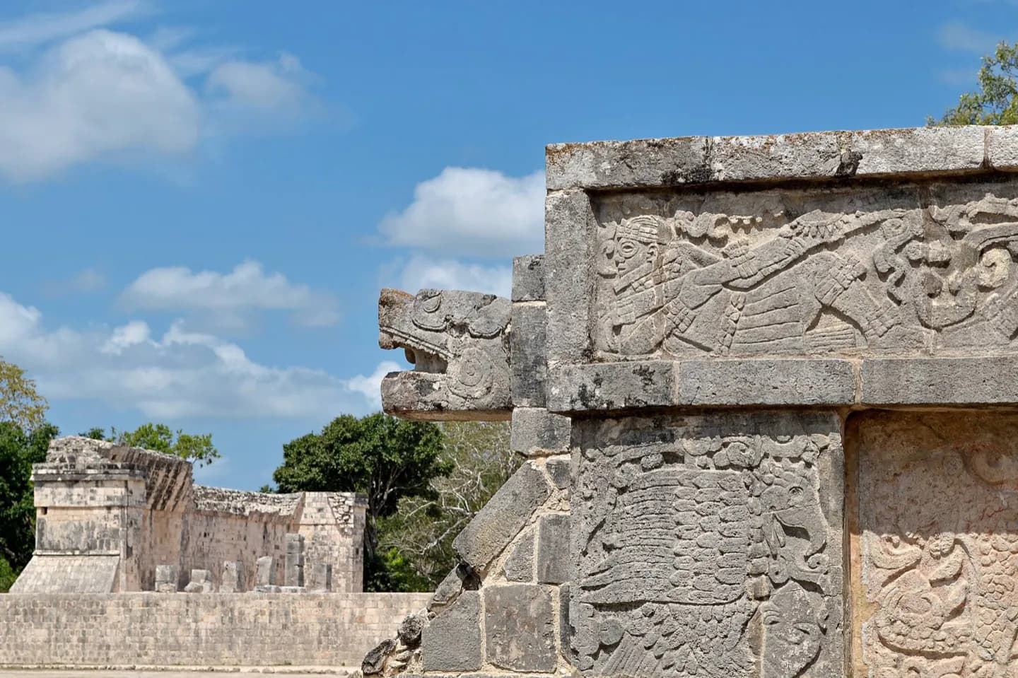
At Chichen Itza, read plazas, causeways and outlying building groups as parts of one city. The contrast between monumental centers and dispersed homes helps explain why a present-day archaeological walk shows only part of the ancient settlement. The contrast makes the surviving monumental core easier to interpret.
The full story
Maya cities were not usually laid out according to one fixed master plan. New palaces and temples were added, and later buildings could rise over earlier ones. A ceremonial and administrative core often held pyramid temples, elite residences, carved monuments, ballcourts and gathering plazas. Causeways connected this center with other groups. Some outlying groups had their own sacred buildings and served lineages outside the royal household. Residential compounds spread farther from the core. Wealthy families tended to occupy desirable ground close to important precincts, and some non-royal compounds carried fine sculpture. Commoner households were more dispersed. Stone platforms raised many residences above wet-season floodwater. These patterns varied by city, but they offer a useful way to read Chichen Itza: the visible monumental zone was a center for ceremony, politics and assembly within a broader inhabited landscape. Following a causeway or looking past a plaza edge helps restore the connection between its grand buildings and everyday settlement.