
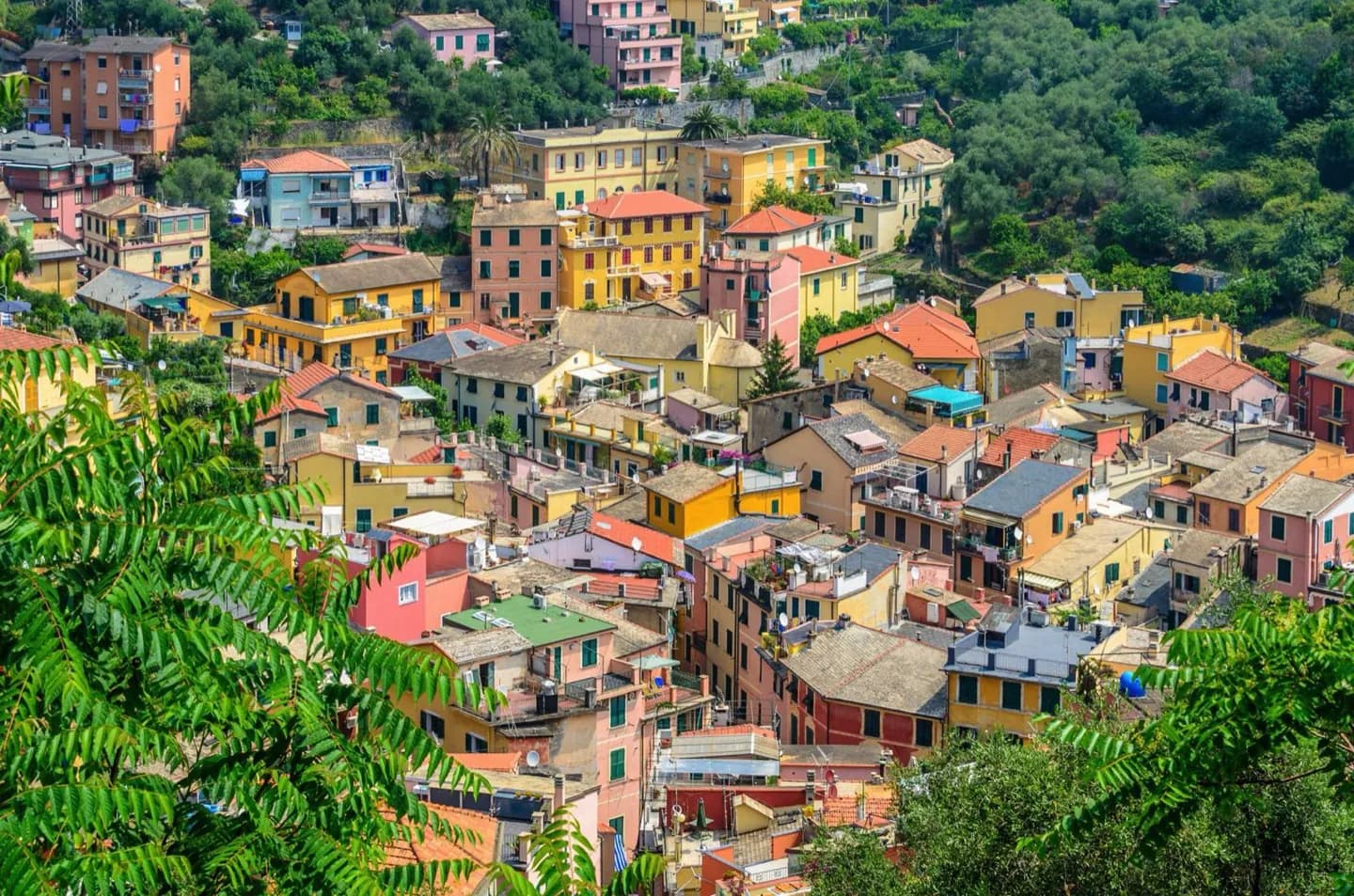
Why go
Trace the ridges above the villages and the headlands that interrupt the coast. Punta Mesco marks the western side of this stretch, while the shoreline continues toward Portovenere. Monterosso has broader beach areas; elsewhere the coast often drops steeply to small inlets, shaping where villages and paths could fit.
What to look for
- Punta Mesco forms a prominent headland west of the five villages.
- Short ridges run down from inland heights toward the sea.
- Dry stone terraces turn steep slopes into narrow strips of cultivable ground.
The full story
Cinque Terre occupies a slender coastal band, with high ground close behind the settlements. Ridges run toward the sea, breaking the shoreline into headlands and small inlets. Much of the coast is rocky and steep, so a village's relationship with the water varies over a short distance. Monterosso has beach areas, while Corniglia sits well above the shore. One suits a beach pause; the other asks for a climb and a view. Small streams drain short, steep catchments and can rise sharply in wet periods. The severe 2011 flood that damaged Vernazza and Monterosso is a reminder of that terrain. Over centuries, residents built terraces and dry stone walls for vines and olives. Those structures are human responses to the slope as much as visual features of it. From a viewpoint, follow the walls across the contours to see where farming made use of otherwise difficult ground.
Useful to know
- Treat a short map distance as a possible climb, especially around Corniglia.
- After heavy rain, check trail conditions because the small streams and steep slopes respond quickly.