
Why go
Use the landscape to make sense of Torrox before dividing your time between pueblo and coast. The Torrox river valley is the main inland corridor, with the Río Seco basin to the east and Arroyo del Manzano to the west. The terrain gives you a clearer picture of the municipality than a coast-only visit.
The full story
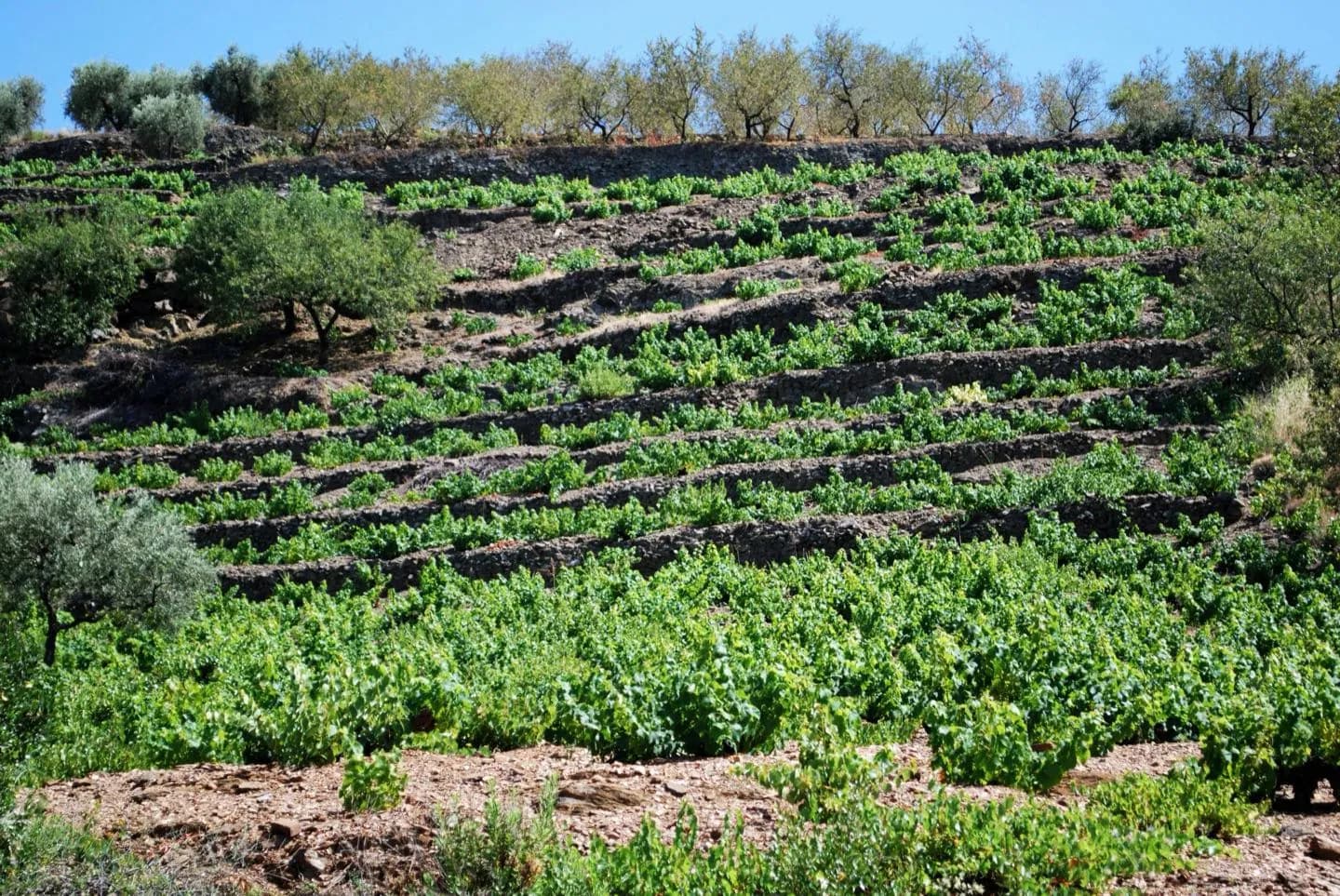
The Torrox river runs through the municipality's central valley toward the Mediterranean. Farther inland, the land narrows between the Coscoja and Rávita hills; nearer the coast, it opens toward the Río Seco basin on one side and Arroyo del Manzano on the other. This is why a short move away from Torrox Costa changes the scene so quickly. The old town occupies the inland part of the municipality, while Torrox Costa includes El Morche, El Faro and El Peñoncillo along the shore. Valley floors have traditionally held cultivated plots. Olives and vines mark some slopes, alongside scrub, newer subtropical crops and greenhouses. Seen together, these are traces of different ways of using the same narrow coastal hinterland. The sea and nearby Sierra de Almijara shape a Mediterranean climate with dry summers and generally mild winters. Conditions still vary between exposed coast, valley and hills, so check the local forecast before a walking day.
Useful to know
- Allow extra travel time when combining the inland old town with coastal districts.
- For a valley or hillside walk, check the day's forecast and expect more exposure than on the seafront.