
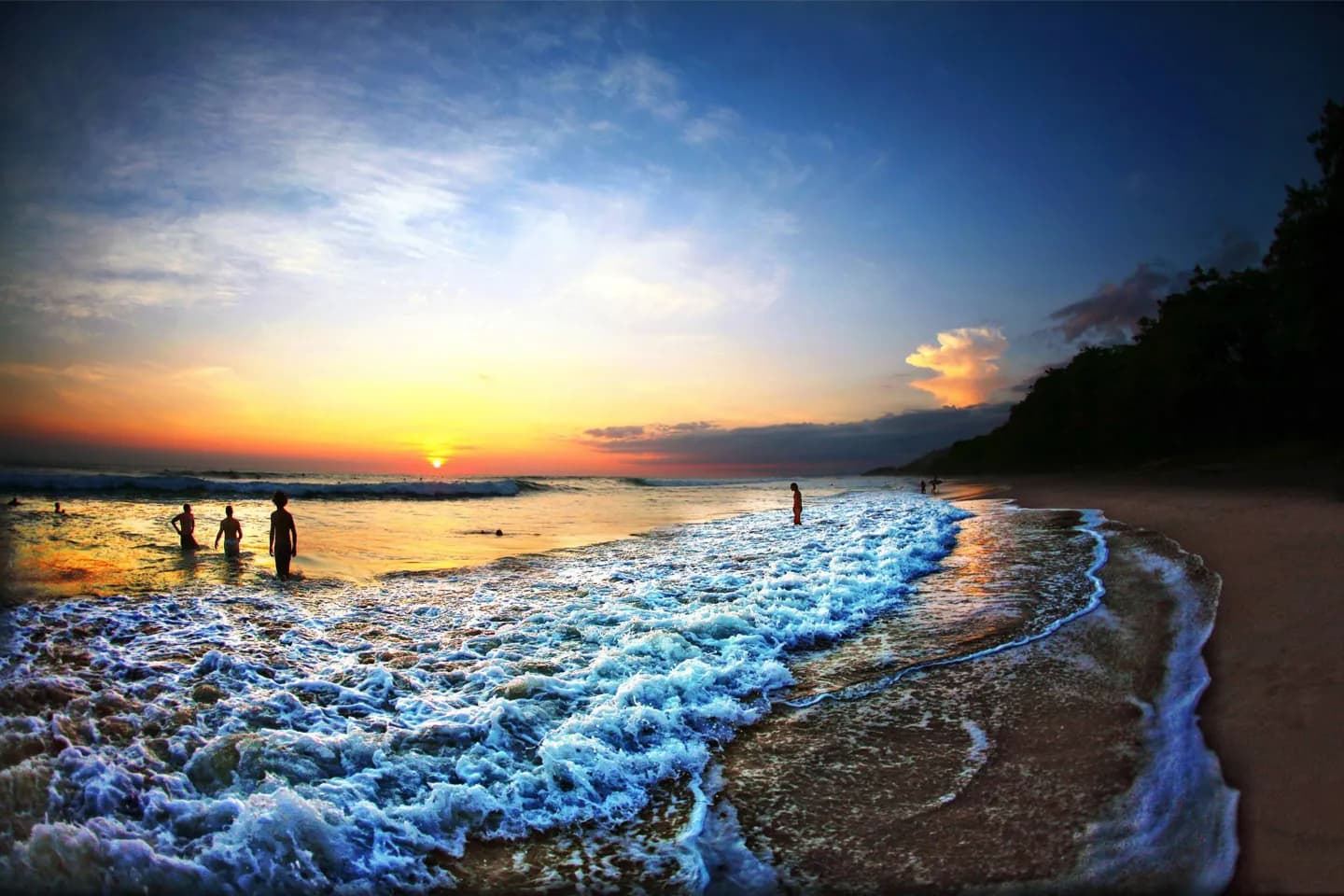
Why go
A route from the Pacific through the Central Valley to the Caribbean crosses beaches, highlands and wetter eastern slopes. Understanding that pattern helps explain why Monteverde's cloud forest feels unlike the coastal lowlands, and why a single national weather forecast is a poor guide to every stop.
The full story
Costa Rica lies between Nicaragua and Panama, with the Pacific Ocean to the west and the Caribbean Sea to the east. Mountain ranges divide those coasts, creating sharp changes in elevation and rainfall. The Central Valley sits within this highland system, while Cerro Chirripó rises above the surrounding peaks. Volcanoes are another visible part of the terrain: Irazú is the country's highest volcano, and Lake Arenal marks a very different inland landscape. The geography also shapes weather. Coastal lowlands are warmer than the main settled highlands, and the Caribbean side is generally more humid than the Pacific side. Rainfall varies further with slope and local terrain. Rather than treating the country as one climate zone, compare the conditions for each coast and for any mountain stop on the same trip.