
Why go
The geography explains why a trip to Plitvice feels unlike one on the coast, and why Slavonia should not be treated as another seaside region. Knowing the landforms helps you choose between island time, mountain scenery and river towns before building a route.
The full story
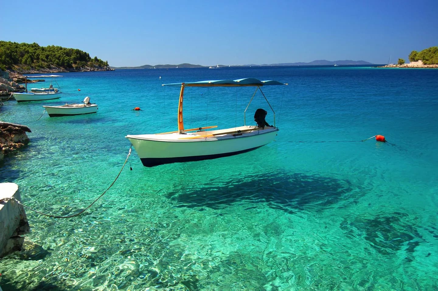
The Adriatic defines Croatia's southwestern edge and includes a large island landscape. Cres and Krk are among its largest islands. Inland from much of the coast, the Dinaric Alps rise through forested and rocky terrain. Limestone and dolomite help form the karst scenery, with caves, lakes and waterfalls. At Plitvice, lakes are linked by cascades across those rocks; the sight makes the geology tangible rather than abstract. Northern Croatia changes character again. Hrvatsko Zagorje is hilly, while Slavonia lies in the broader Pannonian plain. Major rivers include the Sava, Drava, Kupa and Danube; the Danube runs through Vukovar in the east. These regions are not interchangeable add-ons to a coastal circuit. An island itinerary follows the sea, a Plitvice visit centers on water and limestone, and an eastern journey follows river country. The most useful first planning decision is which of these landscapes you want to spend time in, then how many transitions the trip can comfortably hold.