
Why go
The city changes shape at the edge of downtown: numbered and named streets turn diagonally there, while Broadway and Colfax help locate the transition. Understanding that pattern makes walking and transfers easier to plan. Check current RTD routes for cross-city trips, and read parking signs carefully if driving.
The full story
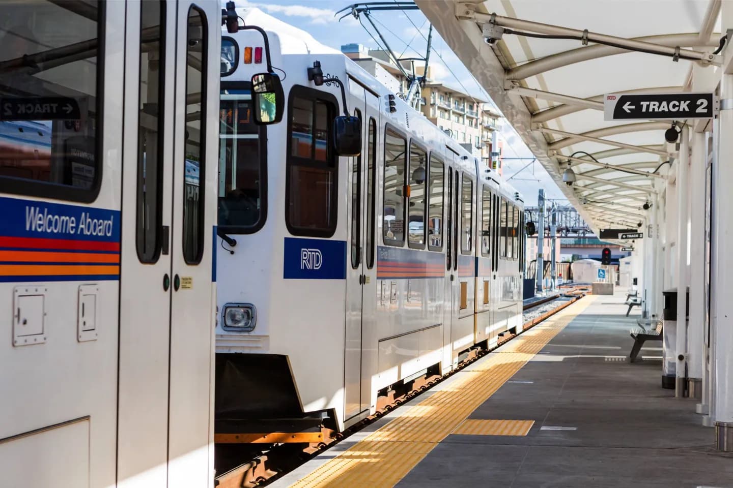
Denver's downtown grid sits at an angle to much of the surrounding city. North of Colfax and west of Broadway, some streets run diagonally across the pattern used farther out. In the broader grid, numbered avenues generally increase as you head north from Ellsworth Avenue, while named streets run north and south with Broadway as a reference line. That change is why a trip that looks straight on a map may involve a turn where the two grids meet. RTD provides buses and rail across the Denver area, so a central stay does not automatically require a car. A car can help when stops spread beyond downtown and its nearby neighborhoods, but parking is another part of the journey: downtown spaces and residential streets can carry different restrictions. Check the route and signs for the specific trip rather than assuming one transport choice suits the whole day.
Useful to know
- Use Broadway and Colfax to orient yourself where downtown's diagonal grid meets the wider street pattern.
- Check the current RTD route for trips beyond central Denver; compare transfer time with driving.
- Read parking signs at the space, especially on residential streets near downtown.