Saved in this browser, on this device. Shared across the nine languages.
Loading your Dominican Republic…
From the Dominican Republic World / Stories
Geography of the Dominican Republic
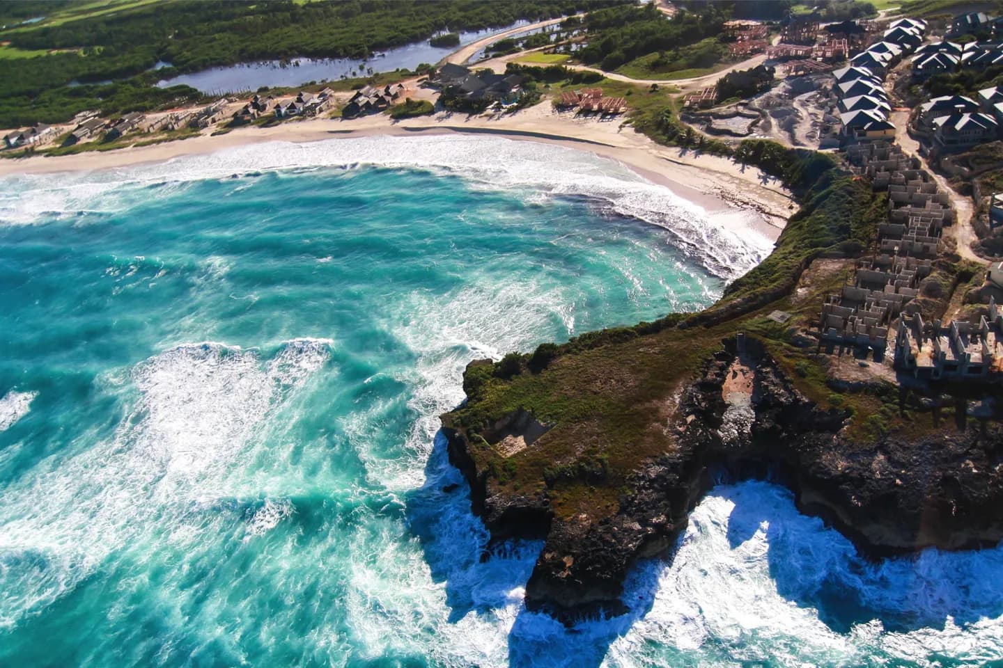
Coasts, valleys and high mountains shape very different trips within the Dominican Republic. The country occupies eastern Hispaniola; its terrain explains why conditions and travel times change sharply between regions.
Dominican Republic / Your next move
Bring this chapter to life.
Keep exploring Dominican Republic with our travel partners.
The Cordillera Central, home to Pico Duarte, is the country’s high backbone. North of it lies the Cibao Valley, while the Cordillera Septentrional runs roughly parallel to the Atlantic shore. In the southwest, the Sierra de Neiba and Sierra de Bahoruco frame a landscape unlike the beach regions. Knowing these divisions helps you combine places that belong together geographically.
What to look for
Pico Duarte rises in the Cordillera Central, far from the coastal landscape.
The Cibao Valley lies between the central and northern ranges.
Saona is off the southeast coast; Beata is off the southwest.
Useful to know
Treat mountain travel as a separate leg from a beach stay.
Check conditions for the specific elevation and region you plan to visit.
Photo gallery 2
Original World content and translations, shown as supplied. Practical information may need updating.
Dominican Republic / Tours & Travel
My day 00
Collect a few stops, adjust the time and put them in an order that works for you.
Saved in this browser, on this device. Shared across the nine languages.
Dominican Republic, in sync.
My plans changed
Tell this moment what changed above. I will offer a new draft of My day, keeping what fits in order.