Saved in this browser, on this device. Shared across the nine languages.
Loading your Dominican Republic…
From the Dominican Republic World / Stories
Santo Domingo and the Ozama River
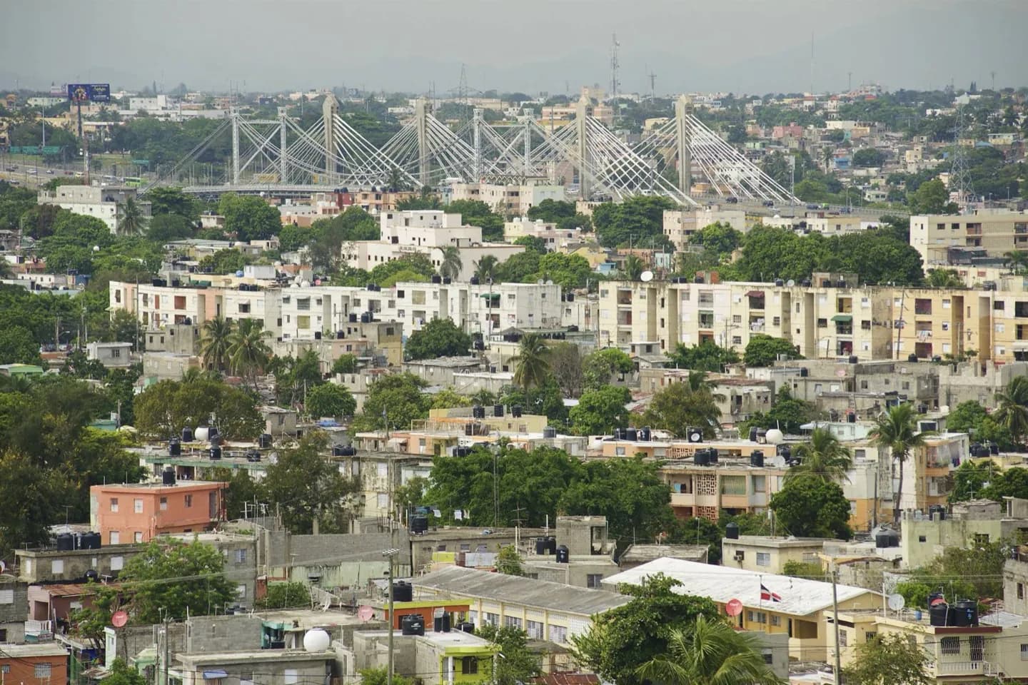
Santo Domingo occupies the Caribbean coast at the mouth of the Ozama River. The river explains the location of the colonial city and its long connection with trade and the port.
Dominican Republic / Your next move
Bring this chapter to life.
Keep exploring Dominican Republic with our travel partners.
The Ozama was a route into the island as well as a coastal harbor. Santo Domingo’s colonial core sits on its west bank, with Fortaleza Ozama positioned to watch the waterway. That relationship makes the river more than scenery: it helps explain the location of the city’s oldest streets and defensive buildings.
Useful to know
Include a view of the Ozama when exploring Fortaleza Ozama or the eastern edge of the Zona Colonial.
Expect warm, humid conditions; plan exposed riverside and street walking accordingly.
Photo gallery 2
Original World content and translations, shown as supplied. Practical information may need updating.
Dominican Republic / Tours & Travel
My day 00
Collect a few stops, adjust the time and put them in an order that works for you.
Saved in this browser, on this device. Shared across the nine languages.
Dominican Republic, in sync.
My plans changed
Tell this moment what changed above. I will offer a new draft of My day, keeping what fits in order.