
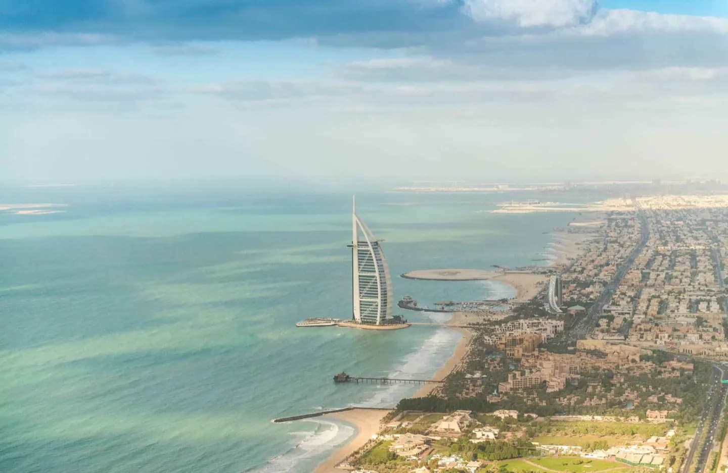
Why go
It rewards visitors who want more than a skyline: ride an abra across Dubai Creek, compare Deira with Bur Dubai, then trace the city westward through Jumeirah and Jebel Ali. The scale can feel spread out, so choosing a district or transport corridor matters more than trying to see the whole city at once.
What to look for
- Dubai Creek divides the older commercial districts of Deira and Bur Dubai.
- The coast, sandy desert and Hajar foothills shape very different day trips.
The full story
Dubai grew from a coastal settlement whose economy rested on fishing, pearling and trade through the Creek. The Al Maktoum family has ruled since 1833. In the twentieth century, port commerce helped the town weather the collapse of the pearl trade, and oil discovered in 1966 financed rapid infrastructure growth. Dubai joined the United Arab Emirates in 1971. Its later expansion was shaped by ports, aviation, real estate, finance and tourism rather than oil alone. That sequence is still legible on a visit: the Creek and traditional trading districts explain the older city, while the western coast shows the infrastructure and development that followed. The resulting urban form is expansive, with older commercial quarters concentrated around the water and newer districts strung along major roads and the shoreline.
Useful to know
- Group sights by district; distances between the Creek, Jumeirah and Jebel Ali are substantial.
- Use shaded indoor stops and public transport planning to manage heat and scale.