
Why go
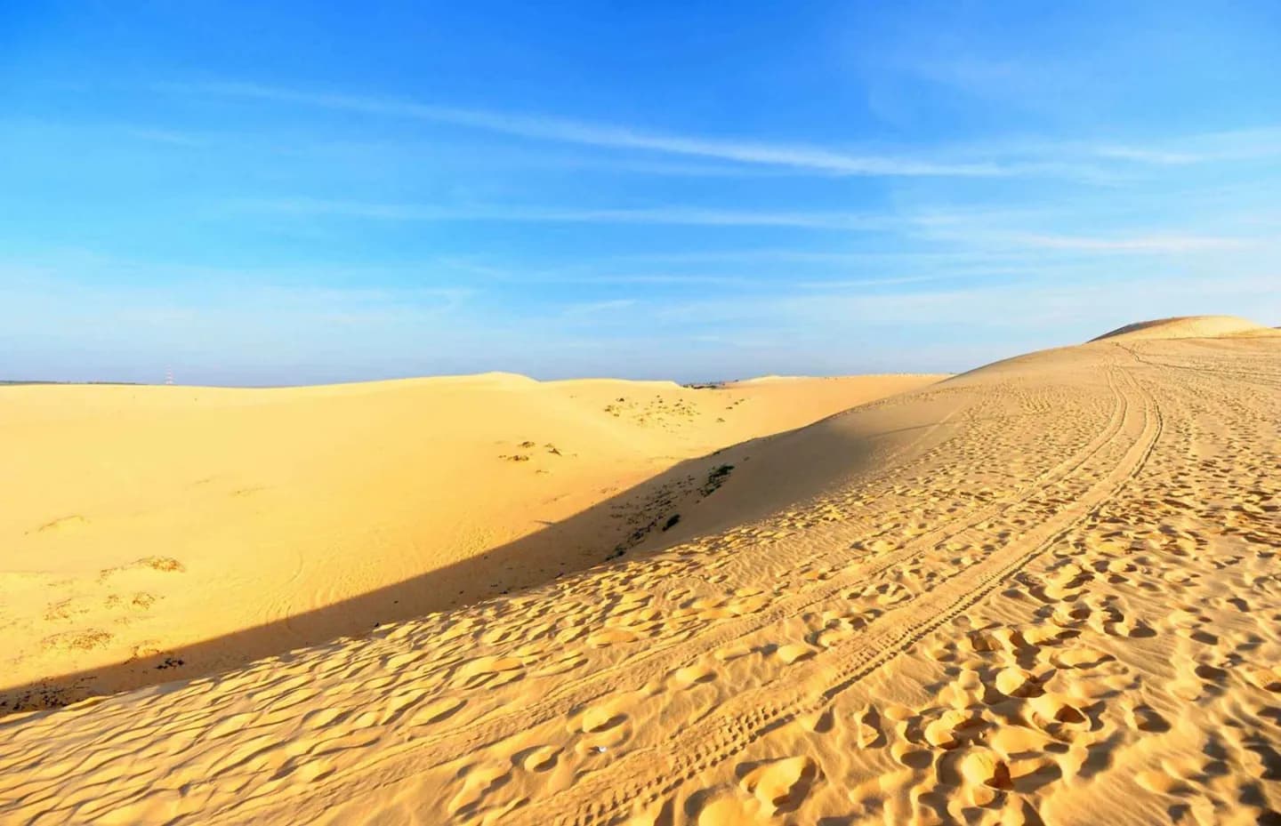
Geography helps make sense of the city’s layout. The Creek separates Deira from the older western districts, while much later development follows the Jumeirah coast toward Jebel Ali. Eastward, salt-crusted plains give way to dunes; the Hatta exclave reaches the Hajar Mountains near Oman.
What to look for
- Dubai Creek is a natural inlet dredged for larger vessels.
- Coastal sabkha plains give way eastward to dunes, including redder iron-rich sand.
- Hatta lies apart from the main city near the Western Hajar Mountains.
The full story
Dubai sits on the Persian Gulf coast of the United Arab Emirates, between Sharjah to the northeast and Abu Dhabi to the south. Its main urban landscape is sandy and low-lying, with shell-and-coral sand near the coast. East of the city, sabkha salt flats lead into dune fields; farther inland, the terrain rises toward the Western Hajar Mountains. Dubai Creek is the key natural inlet in the historic city and was deepened to serve shipping. Development has concentrated west of the Creek along the Jumeirah coast, while Deira occupies the eastern side. Hatta, an exclave of the emirate, offers a markedly more mountainous setting. These physical differences are why a Creek day, a coastal day and a mountain outing require separate planning.
Useful to know
- Choose coast, Creek, desert or Hatta as separate landscape outings; they are not interchangeable parts of the city.
- Use the Creek as an orientation line when planning Deira and Bur Dubai.