
Why go
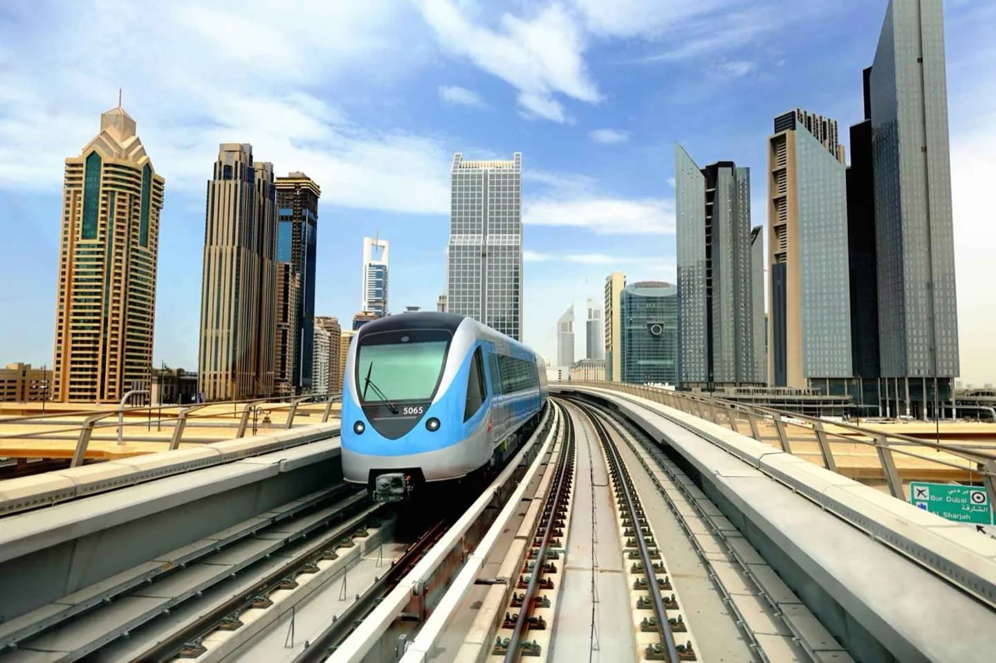
Use the metro to connect places that would otherwise require a long road journey, including central districts and the Marina corridor. Its elevated sections also show the contrast between dense new development and older parts of the city. The system was built to add rail capacity as Dubai expanded and to reduce reliance on road travel.
What to look for
- Driverless trains run on the Red and Green lines.
- Central sections run underground, while much of the network uses elevated viaducts.
- Stations and trains are air-conditioned.
The full story
Dubai Metro opened its first Red Line section to the public in September 2009. It was conceived when rapid growth and road congestion made an urban rail network a practical addition to the city. The network's design reflects Dubai's different urban conditions: trains travel underground through the centre and on elevated viaducts elsewhere. Its automated operation and platform screen doors are part of a system designed around air-conditioned stations and trains. The Red and Green lines became the first operating parts of the network, connecting financial and residential areas as well as older districts around the Creek. For visitors, that history explains why the metro is most useful as a city-scale connector rather than a complete door-to-door network. That pattern still shapes route planning.
Useful to know
- Use the metro for longer cross-city moves, then continue on foot or by a local connection.
- Check the RTA journey planner for current routes, station access and service times.