
Why go
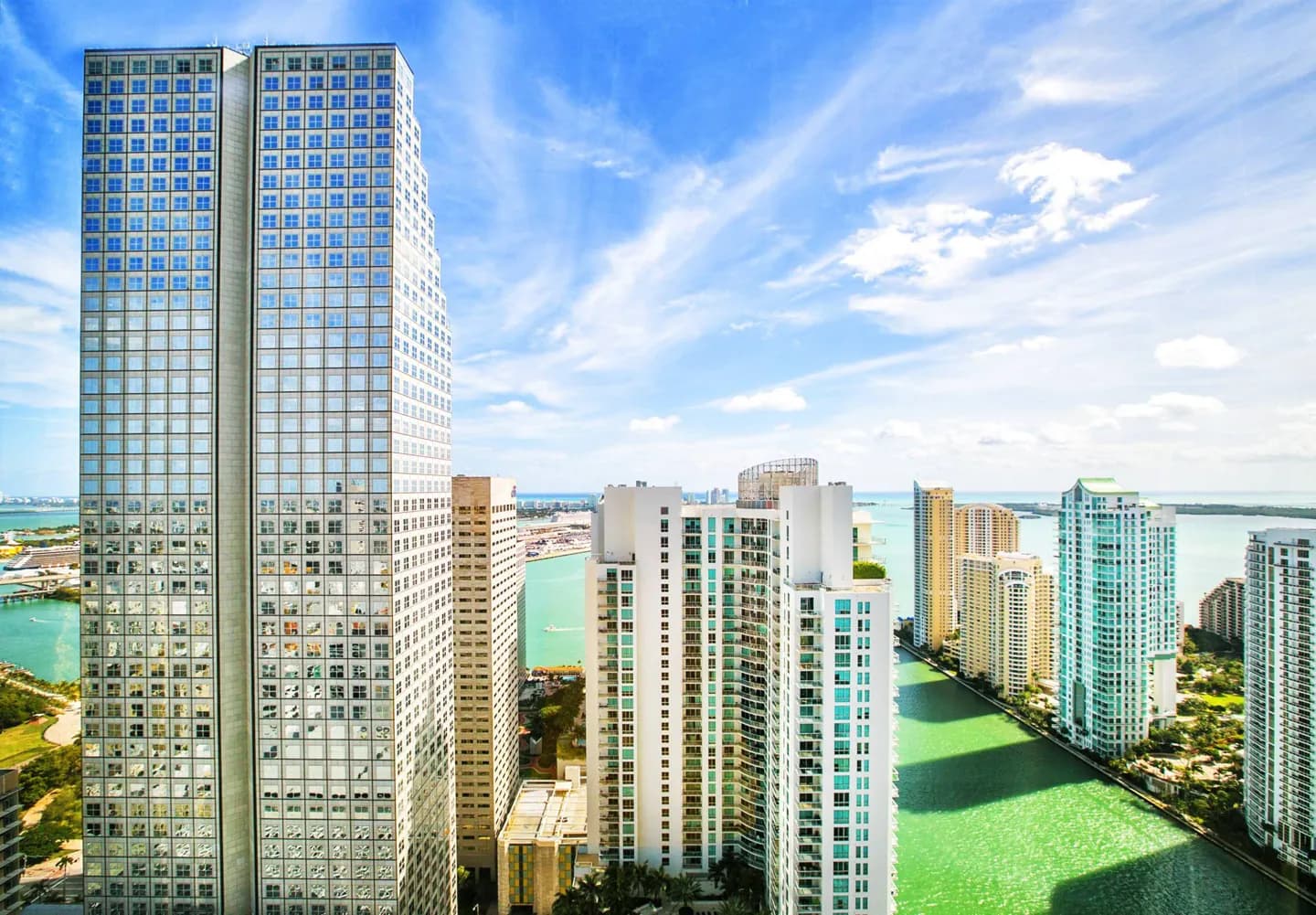
The bay offers a geographic thread linking several kinds of South Florida visit. North Bay sits between mainland Miami and the Miami Beach barrier island; farther south, the bay meets the northern Florida Keys. Mangroves and shallow water support marine life, while the surrounding development reveals how extensively people have reshaped parts of the shoreline.
What to look for
- North Bay lies between Miami and the Miami Beach barrier island.
- Card Sound and Barnes Sound belong to the southern bay landscape.
The full story
Biscayne Bay is commonly divided into northern, central and southern waters. North Bay’s relationship with mainland Miami and Miami Beach makes it the most visibly urban part. Dredging, artificial islands, seawalls and altered freshwater flows have changed its shoreline and habitats. Central and South Bay show different degrees of those pressures. Causeway construction helped turn this water barrier into a connection. Work began on the wooden Collins Bridge in 1912, and its opening helped develop Miami Beach as a resort destination. That history is a reminder that the city’s waterfront geography was actively reshaped. Protection became another part of the bay’s story. Florida designated an aquatic preserve in 1975, while Biscayne National Park protects a separate portion. Stiltsville’s houses fall within the national park. These adjoining protected areas preserve different parts of the same lagoon, whose quiet waters also provide habitat for manatees and dolphins.
Useful to know
- Select a named waterfront or park stop rather than treating the whole bay as one attraction.