
Why go
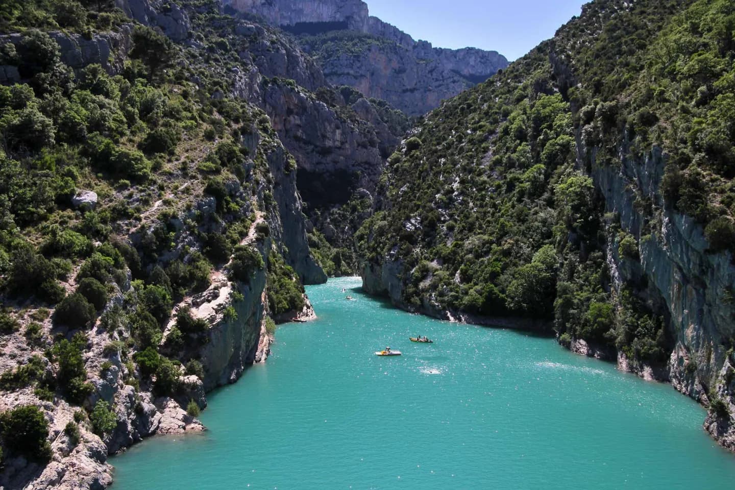
Compare the high, glacially shaped Alps with the older Massif Central, rounded Vosges and limestone Jura. This makes landscape choice more precise than simply planning “a mountain trip” in France. The terrain shapes both the view and the effort of travel.
The full story
Broad plains and lowlands occupy much of northern and western France, including the Paris Basin and the low country around the Garonne. To the southeast, the Rhône and Saône corridor passes between the Alps and the Massif Central. These are useful shapes to recognize on a map because they connect regions that can otherwise look like a patchwork of unrelated places. The mountain areas differ in age and form. The Alps hold steep peaks and valleys enlarged by past glaciers. The Pyrenees form a high barrier along the Spanish border. The Jura has limestone ridges, while the Vosges show rounder, wooded uplands. The Massif Central is older still, with ancient rock and visible forms left by extinct volcanoes. A visitor interested in geology can therefore compare several distinct landscapes without treating every French range as alpine. Look at valley shape, ridge profile and rock where it is visible: they tell a clearer story than a list of peak heights.