
Why go
The map helps choose a realistic trip. The Atlantic plains, Rhône corridor, Alpine and Pyrenean edges, and Mediterranean south create different travel geographies; Corsica and overseas France add further scale and variation. It also helps avoid linking far-apart places into an exhausting route.
The full story
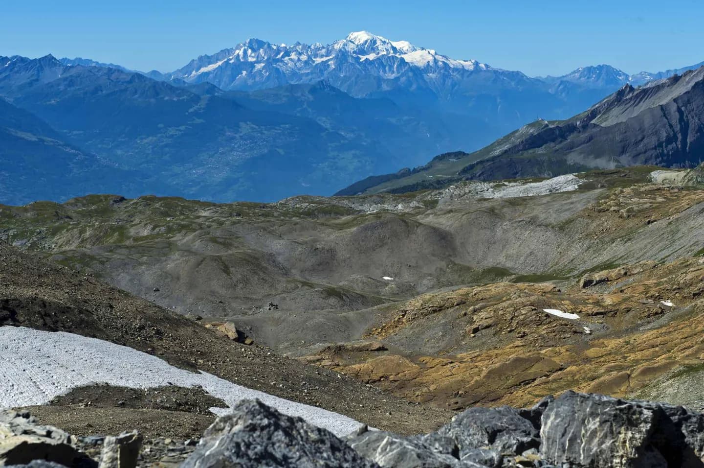
Metropolitan France stretches from the Atlantic coast to the Mediterranean and from the English Channel and North Sea toward the Alps and Pyrenees. The common nickname “the Hexagon” refers to the rough outline of its European mainland, but it does not describe the whole republic. Corsica and territories in the Caribbean, South America, the Indian Ocean and the Pacific widen the map considerably. Within Europe, the western and northern lowlands feel different from the mountains to the east and southwest. The Rhône valley forms a passage between the Alps and Massif Central, while the Pyrenees line the border with Spain. France also meets the Rhine in the east. These features help explain why regional journeys are more coherent than a scatter of distant landmarks. A coastal trip, a mountain trip and a route through river valleys involve distinct terrain and conditions. Start with the physical map, then choose the cities and sites that belong to the landscape you want to understand.