
Why go
Understanding this layout prevents the town from looking like one compact seafront stop. The Argens plain separates the historic centre from Saint-Aygulf, while the Esterel creates a very different setting in the northeast. Pick a district before building the day.
The full story
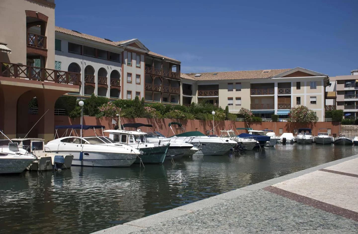
Fréjus lies at the eastern edge of the Var, around the gulf it shares with Saint-Raphaël. The older urban centre sits apart from the beach districts. To the southwest, the Argens plain stretches toward Saint-Aygulf; to the northeast, Esterel forest and hills separate other parts of the commune. The Reyran also crosses the area on its way to the coast. This geography explains why Fréjus can feel like several destinations. Roman and medieval remains belong to the historic core. Port-Fréjus and Fréjus-Plage face the gulf, while Saint-Aygulf occupies another stretch of shore. The Esterel points toward walks and rocky scenery instead of town streets. It is sensible to pair close places within one of these zones rather than assume every Fréjus sight sits within a short walk of the next.