
Why go
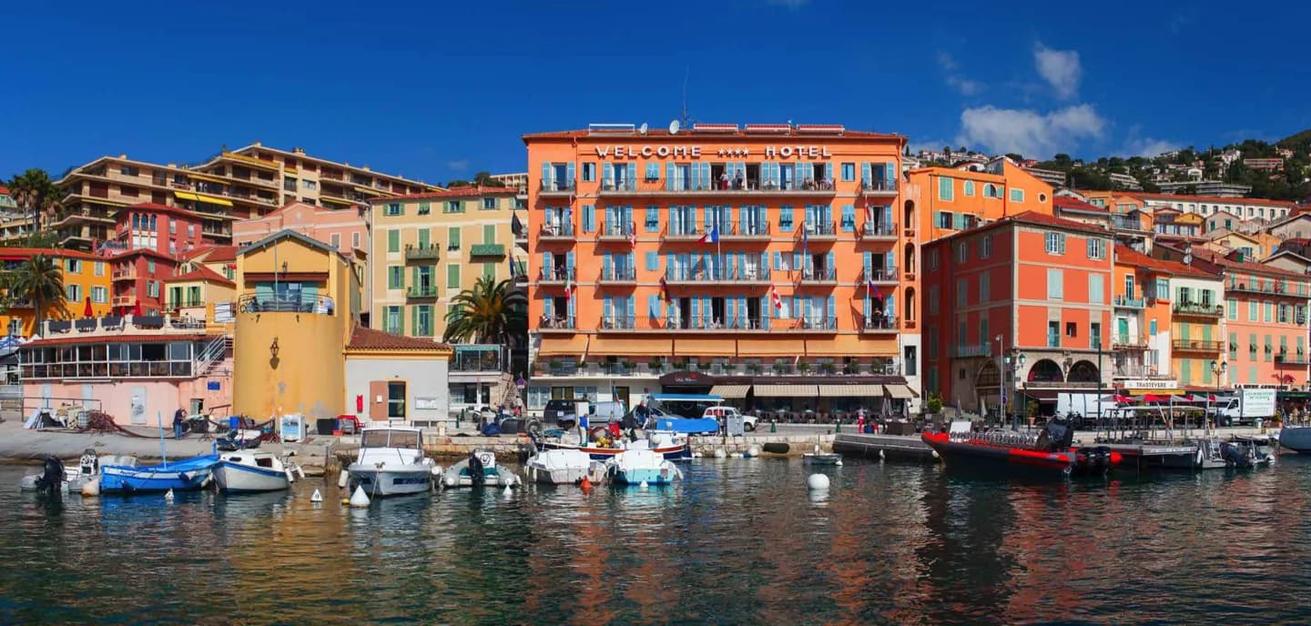
The bay is the reason this town feels and functions as it does: deep sheltered water made it a valuable anchorage. The citadel makes that strategic geography visible from land. Seeing harbor and fortification together gives more insight than treating Villefranche solely as a picturesque seaside stop.
What to look for
- Look across the natural harbor to understand its sheltered shape.
- Find the sixteenth-century Citadelle Saint-Elme above the bay.
- Notice how the town climbs from the waterfront into the hills.
The full story
Villefranche-sur-Mer grew around a deep, sheltered bay just east of Nice. The water is more than a backdrop: it offered a natural anchorage, making the inlet valuable to ships and to the powers that sought to control this coast. Citadelle Saint-Elme, built in the sixteenth century, stands above the harbor and makes the defensive logic easy to see. The town's streets rise quickly from the water, echoing the steep hills around the bay. A walk from shore toward the citadel links these features in the right order. First comes the scale and shelter of the inlet; then the fortification explains why such a harbor needed protection. The three Corniche roads above the town add another layer to this steep coastal geography, linking the hills with the route toward Italy.
Useful to know
- Begin at the waterfront, then climb toward the citadel for a second perspective on the harbor.
- Allow for slopes between the shore and higher streets; check citadel access if you plan to enter.
Your next visit
Estimated · Declared scenario and planning estimates; no live opening, weather, queue or booking service.
Outdoor visit · 30–45 min
World planning estimate; admission, opening, visit duration and access need checking.