
Why go
Begin at Apgar Visitor Center, then walk or drive to Apgar Village for the first broad view across Lake McDonald. Continue north to Lake McDonald Lodge before using the roadside stops at McDonald Falls and Sacred Dancing Cascade. Finish at Trail of the Cedars; add Avalanche Lake only when daylight, trail conditions, and energy allow the longer hike. Parking fills early in summer, so keep the order flexible and do not circle congested lots. The lake itself remains a visual thread rather than a separate long stop.
The route, stop by stop
World itinerary estimate: 300–590 min
Times are planning estimates. Unknown visit durations start at an editable 30 minutes; access is checked separately.
- 01
Main stop · 20–35 min
Apgar Visitor Center
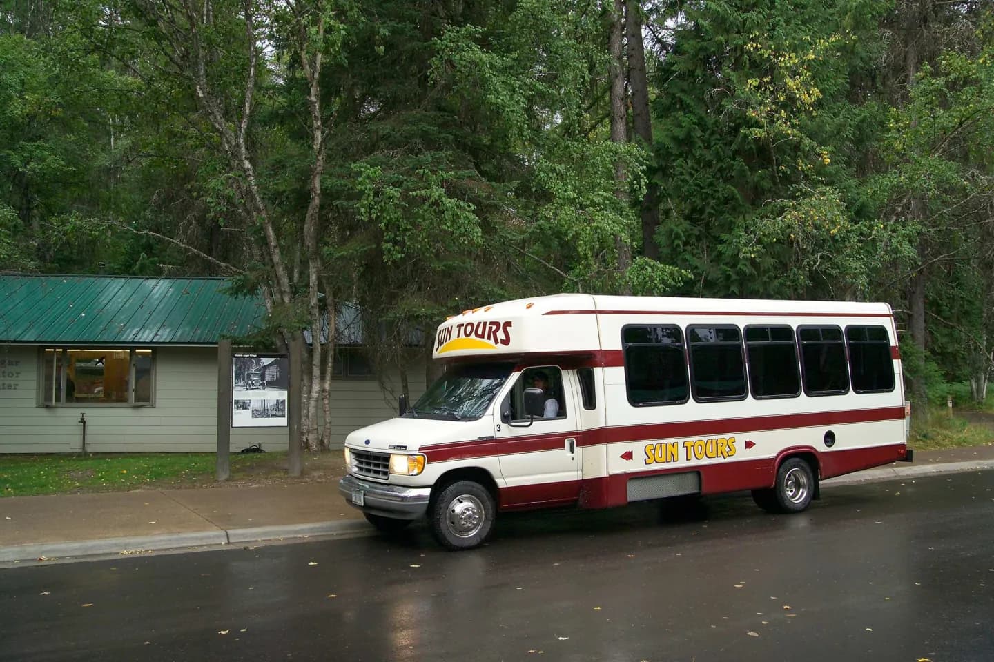
The west-side visitor center gives current orientation for Lake McDonald, shuttle service, roads, trails, and seasonal conditions. For route planning, Apgar Visitor Center turns access and orientation into an identifiable waypoint.
Explore Walk · 11 min · Estimated
02Main stop · 25–45 min
Apgar Village
Apgar's lakefront, historic buildings, services, and short paths form the park's most accessible west-side introduction. For route planning, Apgar Village turns shoreline and settlement into an identifiable waypoint.
ExploreWalk · 229 min · Estimated
03Main stop · 30–55 min
Lake McDonald Lodge
The 1913 lodge combines a timbered lobby, lakefront setting, and Great Northern Railway-era park architecture. For route planning, Lake McDonald Lodge turns historic design and scenery into an identifiable waypoint.
ExploreWalk · 62 min · Estimated
04Main stop · 15–25 min
McDonald Falls
McDonald Creek narrows into a powerful white-water cascade between Lake McDonald and Avalanche Creek. For route planning, McDonald Falls turns moving water and bedrock into an identifiable waypoint.
ExploreWalk · 17 min · Estimated
05Optional · 15–25 min
Sacred Dancing Cascade
A roadside pullout reveals McDonald Creek folding over dark rock in a compact, fast-moving cascade. For route planning, Sacred Dancing Cascade turns cedar habitat and creek into an identifiable waypoint.
ExploreWalk · 73 min · Estimated
06Main stop · 45–75 min
Trail of the Cedars
A mostly level boardwalk loops through western red cedar and hemlock forest around Avalanche Creek gorge. For route planning, Trail of the Cedars turns trail and cirque into an identifiable waypoint.
ExploreWalk · 65 min · Estimated
07Optional · 150–240 min
Avalanche Lake
The trail ends at a subalpine lake beneath steep walls streaked by waterfalls from Sperry Glacier's basin. For route planning, Avalanche Lake turns road engineering and relief into an identifiable waypoint.
Explore