
Why go
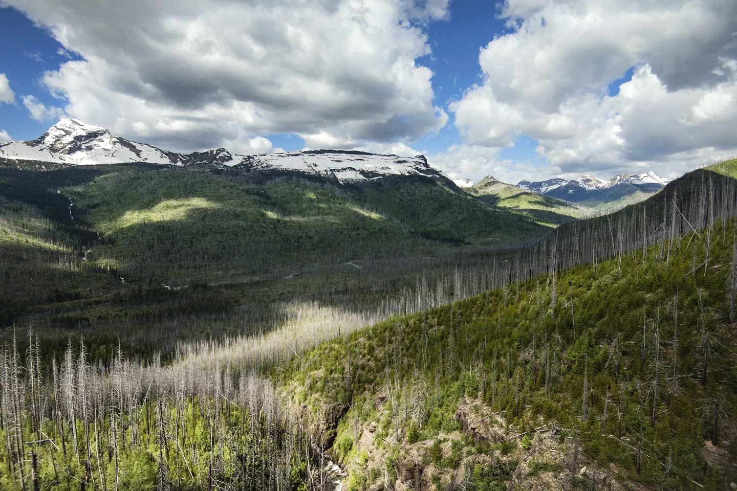
Start at The Loop and move east through Bird Woman Falls Overlook, Big Bend, and the Weeping Wall as the road climbs toward the Continental Divide. Pause at Logan Pass Visitor Center for orientation and alpine conditions, then choose either a short portion of the Highline Trail or the Hidden Lake Overlook trail; attempting both can crowd the day. Finish at Jackson Glacier Overlook on the eastbound descent. This itinerary depends on the alpine road being open and works best with the park shuttle when service and capacity align.
The route, stop by stop
World itinerary estimate: 255–535 min
Times are planning estimates. Unknown visit durations start at an editable 30 minutes; access is checked separately.
Walk · 24 min · Estimated
02Main stop · 15–25 min
Bird Woman Falls Overlook
The turnout frames Bird Woman Falls dropping from a hanging valley across the deep McDonald Creek drainage. For route planning, Bird Woman Falls Overlook turns alpine services and terrain into an identifiable waypoint.
ExploreWalk · 35 min · Estimated
Walk · 26 min · Estimated
04Optional · 15–20 min
Weeping Wall
Seasonal meltwater spills directly over the Garden Wall beside the narrow alpine roadway. For route planning, Weeping Wall turns ice and valley into an identifiable waypoint.
ExploreWalk · 80 min · Estimated
05Main stop · 30–50 min
Logan Pass Visitor Center
The Continental Divide visitor center anchors alpine exhibits and trailheads beneath Clements Mountain and the Garden Wall. For route planning, Logan Pass Visitor Center turns lake and mountain scale into an identifiable waypoint.
ExploreWalk · 50 min · Estimated
06Optional · 90–150 min
Hidden Lake Overlook
A high boardwalk and trail cross alpine meadows to a viewpoint over Hidden Lake and Bearhat Mountain. For route planning, Hidden Lake Overlook turns island and sightline into an identifiable waypoint.
ExploreWalk · 53 min · Estimated
07Optional · 60–120 min
Highline Trail
The trail traverses the Garden Wall above Going-to-the-Sun Road with sustained exposure and broad views. For route planning, Highline Trail turns forest and cascade into an identifiable waypoint.
ExploreWalk · 98 min · Estimated
08Main stop · 15–25 min
Jackson Glacier Overlook
This roadside viewpoint provides one of the park's clearest accessible looks toward an active glacier. For route planning, Jackson Glacier Overlook turns waterfall and gorge into an identifiable waypoint.
Explore