
Why go
This collection keeps Wild Goose Island Overlook, Sun Point, and St. Mary Falls in a useful geographic sequence across the St. Mary Lake corridor. Waterfall paths combine naturally here, but their shared parking pressure makes a flexible order essential. Consult current east-side notices and trim a waterfall branch when parking or trail conditions slow the day. Review current trail and road conditions before setting out, carry water and bear spray, and allow extra time around popular waterfall paths where parking and foot traffic can be heaviest.
The route, stop by stop
Times are planning estimates. Unknown visit durations start at an editable 30 minutes; access is checked separately.
- 01
Optional · – min
St. Mary Visitor Center
The east-side visitor center introduces Blackfeet connections, prairie-to-mountain ecology, and current road conditions. For route planning, St. Mary Visitor Center turns railway history and basin into an identifiable waypoint.
Explore Walk · 171 min · Estimated
02Optional · – min
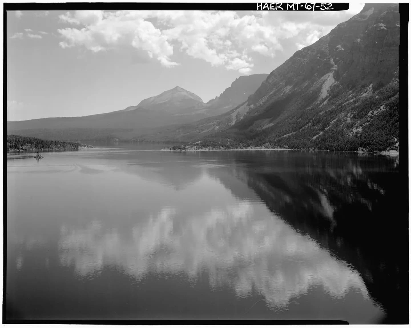
St. Mary Lake
A long glacial lake runs beneath sharp peaks on the park's east side, changing character with wind and light. For route planning, St. Mary Lake turns shoreline and peaks into an identifiable waypoint.
ExploreWalk · 10 min · Estimated
03Optional · – min
Wild Goose Island Overlook
The overlook aligns a small wooded island with the long axis of St. For route planning, Wild Goose Island Overlook turns trail and habitat into an identifiable waypoint.
ExploreWalk · 19 min · Estimated
04Optional · – min
Rising Sun
This developed lakeside area combines an east-side shuttle stop, services, and access to St. For route planning, Rising Sun turns waterfall and cleft into an identifiable waypoint.
ExploreWalk · 89 min · Estimated
Walk · 23 min · Estimated
06Optional · – min
Baring Falls
A short path descends through fire-shaped forest to a waterfall near the shore of St. For route planning, Baring Falls turns cascade and forest into an identifiable waypoint.
ExploreWalk · 14 min · Estimated
07Optional · – min
St. Mary Falls
Turquoise water drops through a narrow rock channel beneath footbridges and conifer forest. For route planning, St. Mary Falls turns pass and watershed into an identifiable waypoint.
ExploreWalk · 17 min · Estimated
08Optional · – min
Virginia Falls
A taller, multi-tiered waterfall rewards the continued climb beyond St. For route planning, Virginia Falls turns backcountry lake and range into an identifiable waypoint.
Explore