
Why go
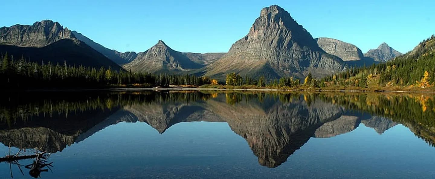
This collection keeps Two Medicine Lake, Running Eagle Falls, and Scenic Point in a useful geographic sequence across the Two Medicine valley. Valley-floor waterfalls can share a day, whereas the exposed pass and summit routes demand separate judgment. Confirm Two Medicine road and trail conditions, keeping a valley walk ready for unsettled weather. Check current trail, weather, and access notices before departure, carry bear spray and layers, and keep an alternate lakeside walk in mind if wind, storms, or wildlife closures affect higher routes.
The route, stop by stop
Times are planning estimates. Unknown visit durations start at an editable 30 minutes; access is checked separately.
- 01
Optional · – min
Two Medicine Lake
The lake sits between steep peaks at the head of a quieter east-side valley with trail and boat access. For route planning, Two Medicine Lake turns moving water and bedrock into an identifiable waypoint.
Explore Walk · 52 min · Estimated
02Optional · – min
Running Eagle Falls
Water emerges through and over a rock ledge, producing the seasonal double-fall effect behind its Blackfeet name. For route planning, Running Eagle Falls turns cedar habitat and creek into an identifiable waypoint.
ExploreWalk · 69 min · Estimated
03Optional · – min
Aster Falls
A forest trail from Two Medicine Lake reaches a small cascade before climbing toward Aster Park. For route planning, Aster Falls turns trail and cirque into an identifiable waypoint.
ExploreWalk · 17 min · Estimated
04Optional · – min
Aster Park
A steep spur climbs above Two Medicine Lake to open views across the valley and surrounding peaks. For route planning, Aster Park turns road engineering and relief into an identifiable waypoint.
ExploreWalk · 38 min · Estimated
05Optional · – min
Twin Falls
Two adjacent cascades drop through forest near the west end of Two Medicine Lake. For route planning, Twin Falls turns meltwater and cliff into an identifiable waypoint.
ExploreWalk · 24 min · Estimated
06Optional · – min
Upper Two Medicine Lake
A trail or seasonal boat-assisted hike reaches a quieter lake enclosed by high peaks. For route planning, Upper Two Medicine Lake turns alpine services and terrain into an identifiable waypoint.
ExploreWalk · 149 min · Estimated
07Optional · – min
Scenic Point
The exposed climb gains a sweeping view from Two Medicine Valley across the plains east of the park. For route planning, Scenic Point turns exposure and distance into an identifiable waypoint.
ExploreWalk · 192 min · Estimated
08Optional · – min
Dawson Pass
The high pass crosses the Continental Divide on a demanding loop above Two Medicine's lakes and basins. For route planning, Dawson Pass turns ice and valley into an identifiable waypoint.
Explore