
Why go
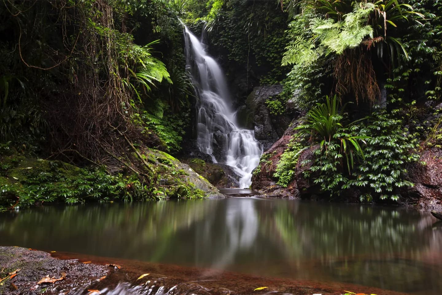
Follow the coast from Main Beach and Surfers Paradise south to Coolangatta for beaches and urban centres. Look inland around the Nerang River to understand the canals that thread through residential areas. Lamington National Park occupies part of the mountain hinterland farther west, with rainforest and walking country rather than surf and towers.
The full story
The Gold Coast sits in southeastern Queensland, south of Brisbane. At its southern end, Coolangatta meets Tweed Heads across the New South Wales border near Point Danger. The built-up beach strip is backed by waterways associated with the Nerang River. Much of the land between the sea and the hinterland was once wetland; engineered canals and artificial islands changed that landscape into residential waterfront. This explains why a map shows water reaching far behind the beaches. West of the coastal plain, the land rises towards the Great Dividing Range. Lamington National Park protects part of that hinterland and its rainforest. The spatial shift is sharp enough to guide a visit: explore linked beach suburbs along the coast, see the canal landscape from suitable public waterfronts, and treat the mountain parks as a separate excursion.