
Why go
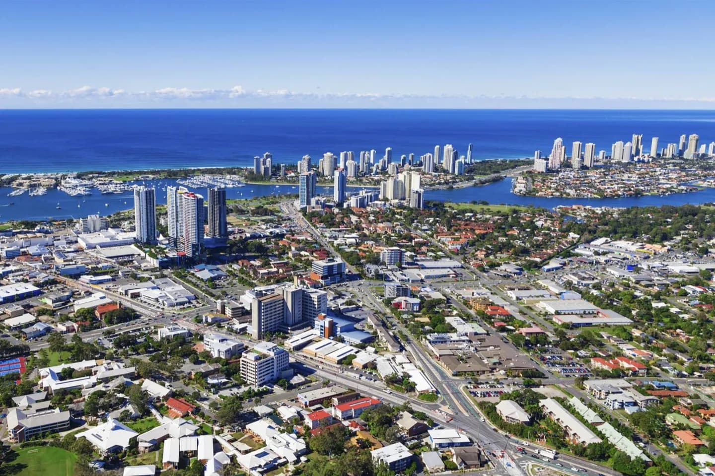
The Broadwater, Nerang River and canal estates show how much of the city faces inland water as well as the Pacific. The Gold Coast Seaway links the Broadwater to the ocean between The Spit and South Stradbroke Island. Seeing that connection helps make sense of the marina and canal landscape behind the surf beaches.
The full story
Residential canals began appearing in the 1950s, extending the Nerang River's water network into new waterfront neighbourhoods. Other waterways connect with Tallebudgera Creek, Currumbin Creek and the Broadwater. The Gold Coast Seaway creates an ocean passage between The Spit and South Stradbroke Island; engineered works there manage the movement of sand along the coast. These are not simply scenic details. They show how the city reshaped wetlands and river edges as it grew, producing an urban pattern in which pontoons and canals can be close to open-ocean beaches. A look at the Broadwater or a canal-side public space reveals a quieter face of the Gold Coast, but the sheltered appearance of inland water should not be taken as a swimming invitation.