
Why go
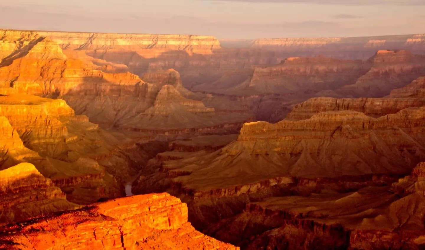
Exploration history gives meaning to Powell Point, river views, and the difficult relationship between rim maps and canyon-floor travel. It also invites a more critical reading of heroic expedition stories. At Mapping and Exploring Grand Canyon, connect named places with visible evidence; let Mapping and Exploring Grand Canyon guide pace and distance.
The full story
By the nineteenth century, United States military surveys, scientists, prospectors, and river expeditions sought routes, resources, and geographic knowledge across the Colorado Plateau. John Wesley Powell's 1869 river journey became the best-known expedition, followed by further mapping and scientific work. These parties faced rapids, damaged boats, uncertain supplies, and incomplete maps, but they were not entering a human void. Indigenous communities possessed deep knowledge of water, trails, seasons, and places throughout the region. Later surveys assigned many of the English names visible on modern maps and helped frame the canyon for mining, tourism, and federal management. At Powell Point or any overlook where the Colorado River appears, compare the neat line on a map with the hidden bends, rapids, and side canyons that made travel and surveying so demanding.