
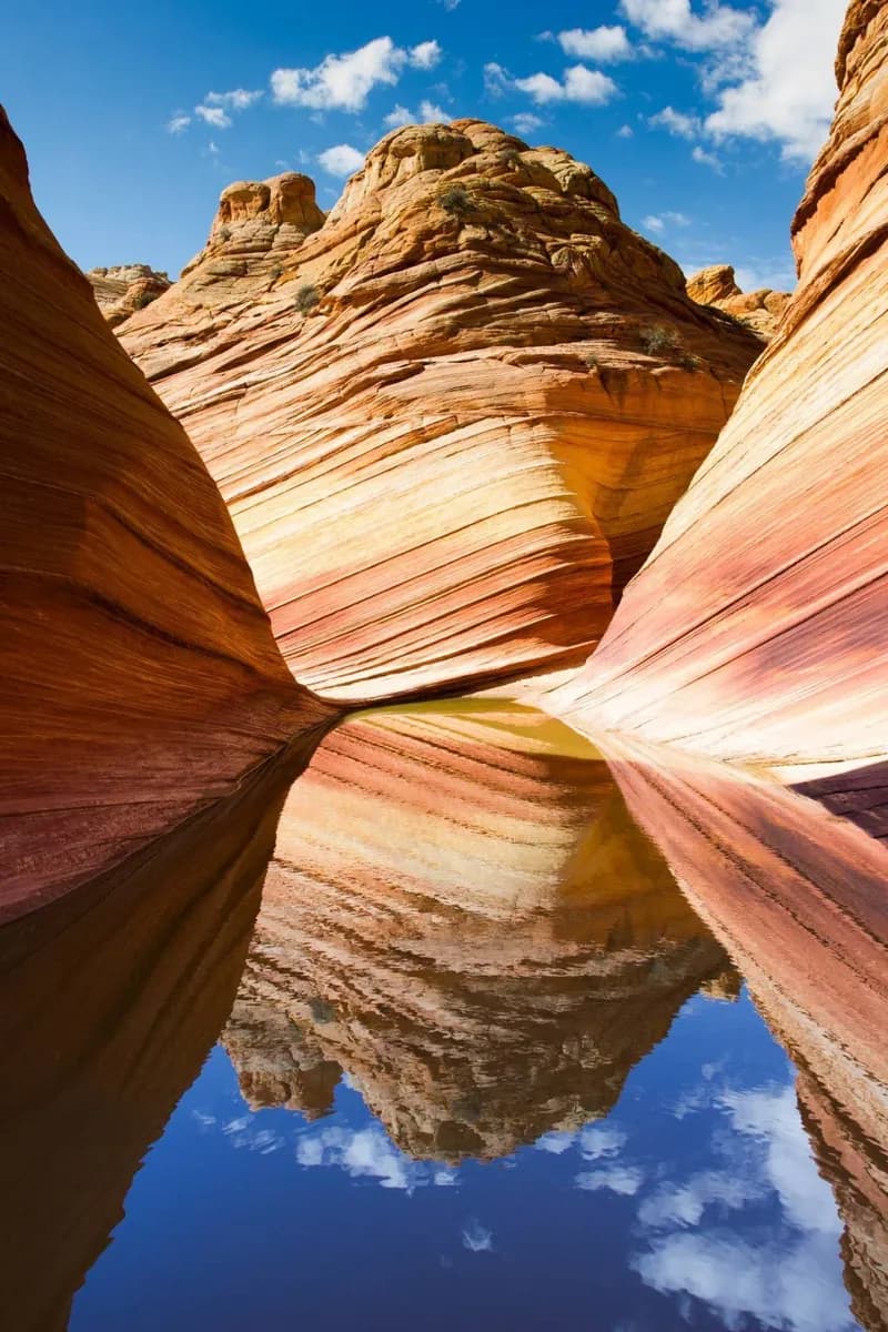
Why go
The geology turns a huge view into something readable. Once you recognize resistant cliffs, softer slopes, faults, and the dark inner gorge, each overlook reveals a different cross-section rather than the same panorama. At Reading the Canyon's Rock Layers, connect named places with visible evidence; let Reading the Canyon's Rock Layers guide pace and distance.
The full story
The canyon walls form a visible archive, but the layers are not a simple timeline made by the river alone. Younger sedimentary rocks cap the rims, while progressively older formations appear lower on the walls. Hard limestone and sandstone tend to form cliffs; softer shale often erodes into slopes. Far below, the river cuts through ancient metamorphic and igneous rocks of the inner gorge. Uplift raised the Colorado Plateau, and the river and its tributaries exploited fractures while weather, runoff, ice, and gravity widened the canyon. Faults also influence side canyons and trail alignments. At Yavapai Geology Museum and along the Trail of Time, compare the real walls with diagrams and rock samples. At eastern viewpoints, look for longer river reaches; at central overlooks, study the stepped profile from rim to gorge.