
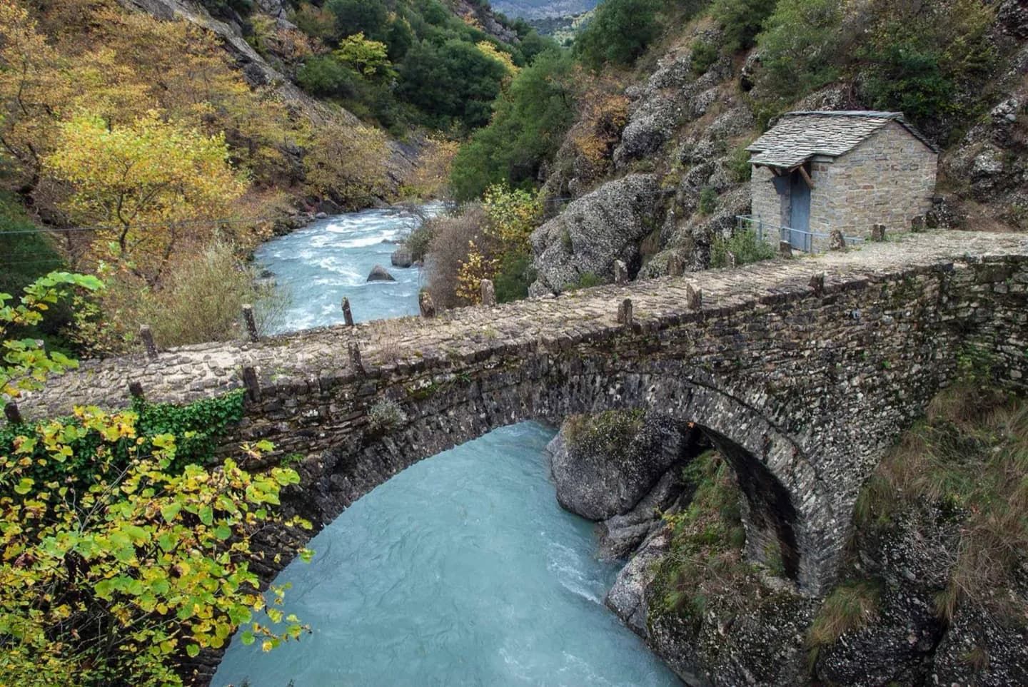
Why go
The Pindus range, the Thessaly plain and the islands offer very different journeys. Meteora's rock pillars, Crete's mountains and the Cyclades' sea routes are more useful planning anchors than a single image of Greek coastline. Geography also helps explain why weather and overland travel differ from one region to another.
The full story
Greece occupies the southern end of the Balkan peninsula and includes a deeply indented mainland, the Peloponnese and numerous islands. The Pindus range runs through the west and has long made east–west movement across the mainland more demanding. Its terrain includes steep peaks and gorges; the rock pillars of Meteora create another distinctive inland landscape. Thessaly, Central Macedonia and Thrace hold some of the country's larger plains. Crete is the largest Greek island, while Euboea lies close to the mainland across the Euripus Strait. The Cyclades and Dodecanese sit in the Aegean, with the Ionian Islands to the west. These groups are not interchangeable stops on one short island trip. Coastal areas generally have hot, dry summers and wetter winters, but the Pindus can make western areas wetter than places to its east. A route that looks compact on a map may cross mountains or water. Build time for those crossings, especially if you want to combine an inland site such as Meteora with a coastal or island stay.