
Why go
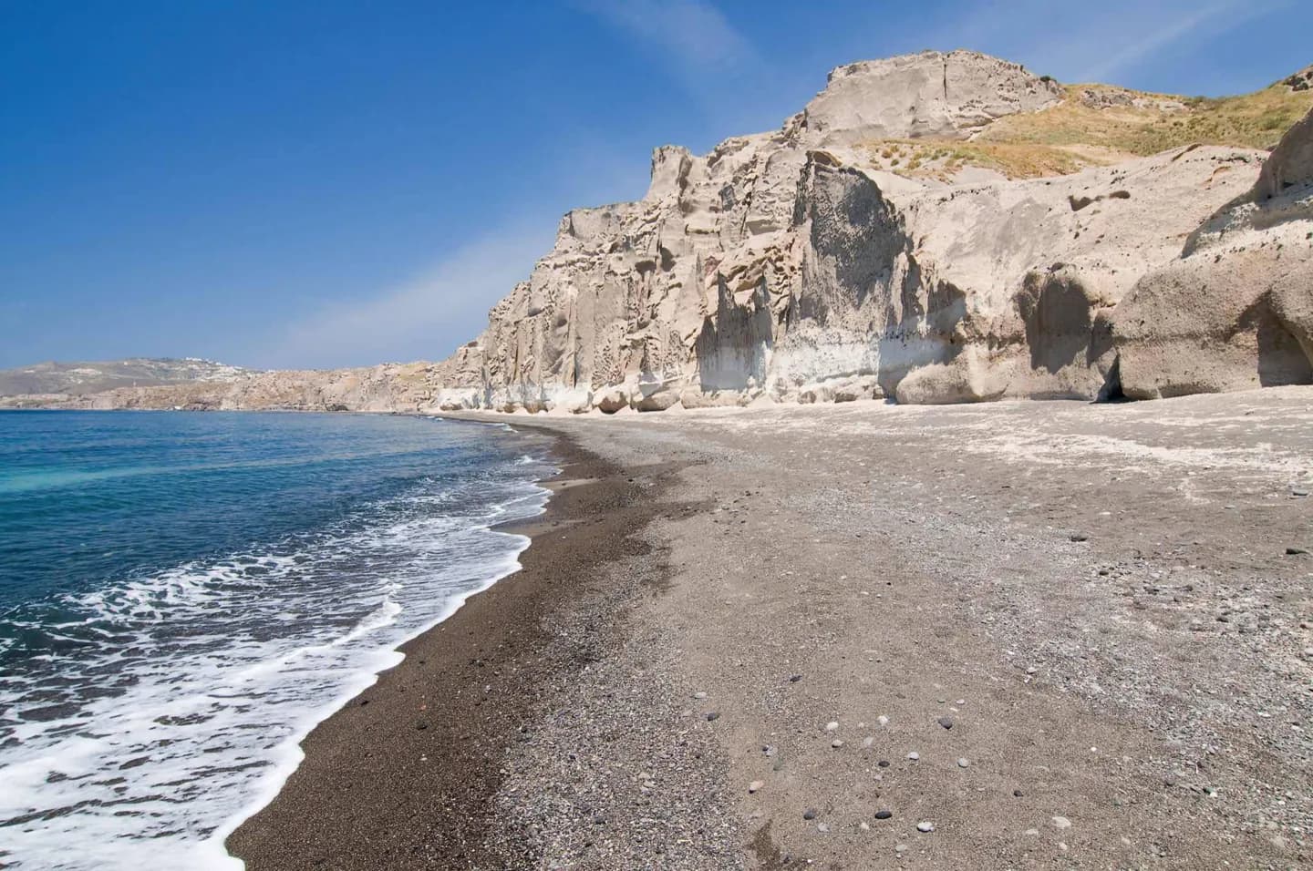
The cliffs around Fira, the water-filled center and the dark Kameni islets are connected parts of one volcanic story. Akrotiri shows the human side of the Bronze Age eruption, while a view toward Nea Kameni makes later growth within the caldera visible. Reading these together is more useful than memorizing eruption counts.
The full story
Santorini did not acquire its present shape in a single simple event. Repeated eruptions built volcanic land, and major collapses formed the caldera. The Bronze Age eruption buried Akrotiri beneath ash and left evidence of a town that had flourished before the disaster. Activity continued long after that eruption. Nea Kameni emerged from the sea in the early eighteenth century, and later eruptions added to the dark volcanic islets near the center of the caldera. The last eruption described in the legacy account occurred in 1950. The island was also struck by a damaging earthquake in 1956, a separate event that affected settlements above the cliffs. From the rim, the broad water basin, steep inner walls and Kameni islets are easier to understand as stages in a changing volcanic landscape. At Akrotiri, the same story is visible at human scale in buried streets and rooms. Claims that Santorini was Plato's Atlantis are speculation and do not explain the physical remains.