
Why go
The term gives Interlaken's mountain setting a wider frame, but it is too broad to name a stop. Around town, the difference between a Lake Brienz shore walk and a Lauterbrunnen valley visit shows how Alpine water, settlement and steep relief meet. Pick a named route or viewpoint to turn that geography into a practical outing.
The full story
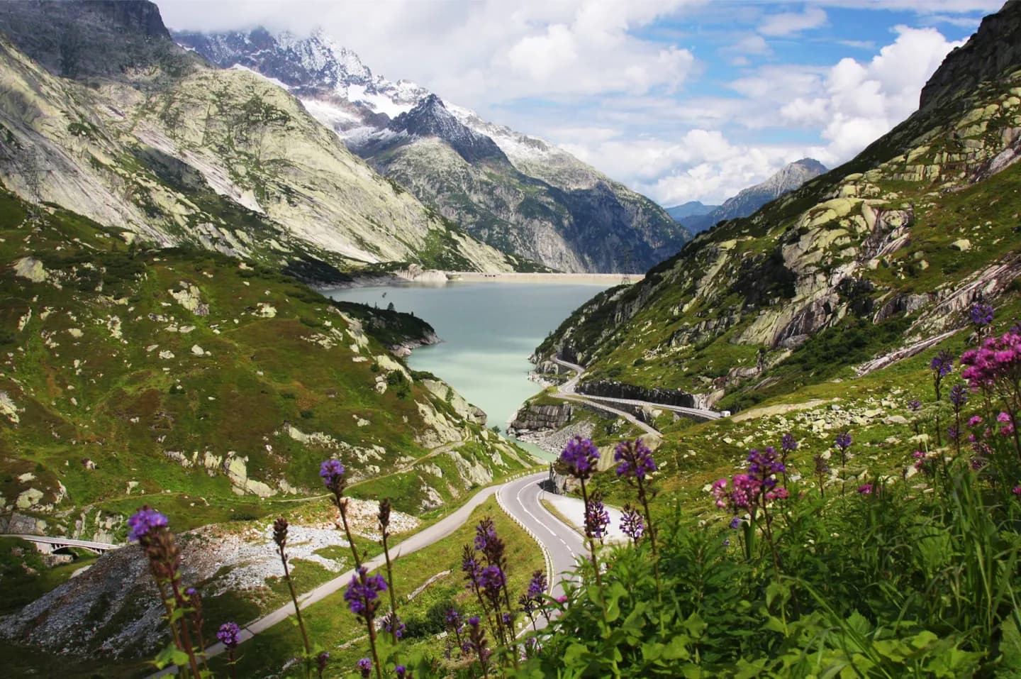
The Swiss Alps stretch across several parts of the country and include ranges far beyond the Bernese Oberland. Around Interlaken, their presence is easy to read in layers: the Bödeli and its two lakes lie below mountain valleys, while the Jungfrau, Mönch and Eiger rise above them. Alpine passes have long connected valleys and regions, and waterways carry mountain runoff into the lower landscape. That geography explains why the word Alps can refer to very different experiences, from a lakeside village to a high glacier. It also warns against treating a point on a map as the location of the whole range. To see a particular feature, choose a named place such as the Lauterbrunnen valley floor, a Lake Brienz shore, or an accessible viewpoint towards the peaks.
Your next visit
Estimated · Declared scenario and planning estimates; no live opening, weather, queue or booking service.
Outdoor visit · 30–45 min
World planning estimate; admission, opening, visit duration and access need checking.