
Why go
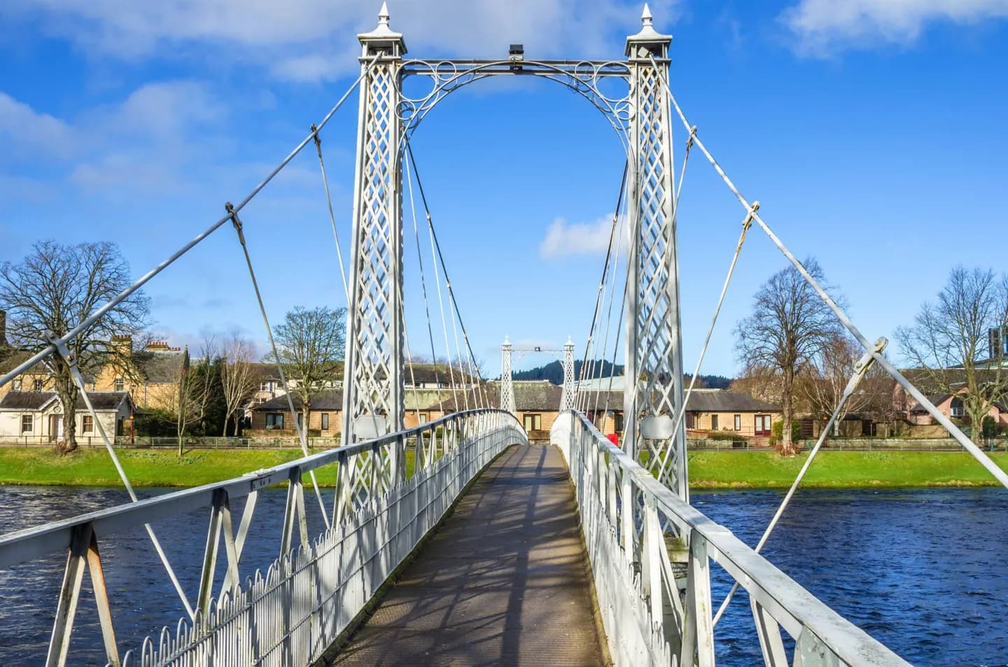
Follow the River Ness to see the setting change from city bridges to the wooded Ness Islands. The Caledonian Canal follows the broader Great Glen corridor towards Loch Ness, while Craig Phadrig offers a wooded hillside perspective. Each shows a different scale of the same landscape.
The full story
The River Ness runs through Inverness to the Moray Firth. Its banks make the city easy to read on foot: the old centre lies mainly to the east, the cathedral is on the west, and the Ness Islands sit farther upstream. The islands have been used for recreation since the nineteenth century and are linked by footbridges, giving a short escape into trees while remaining within the city. Inverness also marks the north-eastern end of the Great Glen, the long corridor of lochs and valleys that stretches south-west through Loch Ness. The Caledonian Canal uses this corridor, connecting Loch Ness, Loch Oich and Loch Lochy. That makes a canal-side outing quite different from a central river walk, even though both involve water. For a wider view, Craig Phadrig is a wooded hill west of the centre with an ancient hillfort association. Allow for an uphill walk there; if you have limited time, the flatter riverbanks and islands explain the city’s setting more directly.