
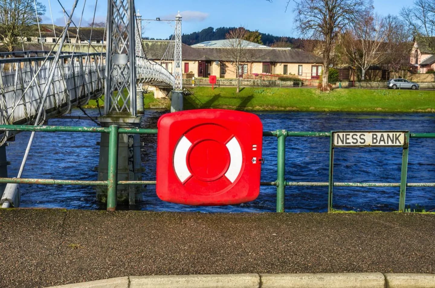
Why go
A riverside walk reveals how Inverness is arranged: the castle rises above one bank, the cathedral stands beside the other, and the path upstream leads towards Ness Islands. The river itself links the city to Loch Ness more directly than any roadside viewpoint can.
What to look for
- Inverness Castle rises above the central riverbank.
- Inverness Cathedral faces the water from the west bank.
- Upstream, footbridges lead onto the wooded Ness Islands.
The full story
The River Ness gives Inverness both its shape and its name. Inbhir Nis means the mouth of the Ness in Scottish Gaelic, describing the settlement where the river meets the firth. Water flowing from Loch Ness passes through Loch Dochfour before crossing the city and reaching the Beauly Firth. Although the river is short, its broad flow is a constant presence beside the centre’s buildings and bridges. The castle occupies high ground above it, while Inverness Cathedral and the Old High Church mark different stretches of its banks. This geography helps explain why the river is more than a scenic backdrop: following it on foot links several of the city’s historic places. Farther upstream, its current splits around the Ness Islands, where the hard edges of the centre give way to trees and footbridges.
Useful to know
- Use the public riverside paths for the views; the map point represents the river, not an entrance.
- Continue upstream to Ness Islands if you want a longer walk away from the central streets.
Your next visit
Estimated · Declared scenario and planning estimates; no live opening, weather, queue or booking service.
Outdoor visit · 30–45 min
World planning estimate; admission, opening, visit duration and access need checking.