
Why go
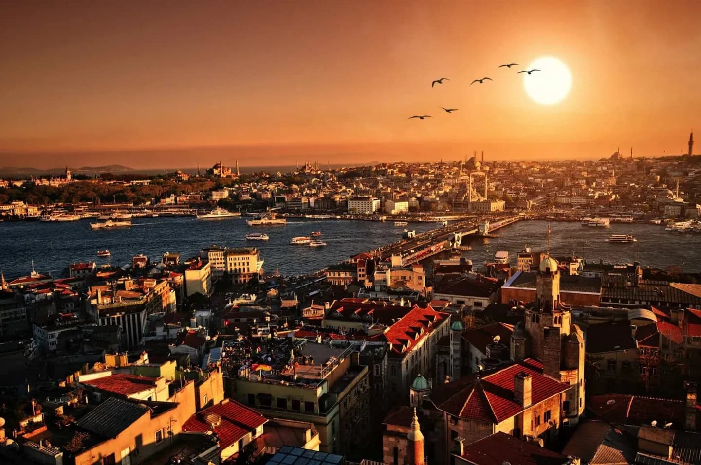
This overview helps you connect the Historic Peninsula, Golden Horn, Beyoğlu and the Asian shore before choosing individual stops. It explains why ferries matter as much as streets, and why monuments from different empires often appear within the same view rather than in separate historic zones.
The full story
Istanbul occupies both shores of the Bosphorus, the strait joining the Black Sea to the Sea of Marmara. The Golden Horn cuts into the European side and shelters the historic peninsula, while hills rise behind both waterfronts. This geography helped the city become an imperial capital and still controls how visitors move. Roman and Byzantine Constantinople left the Hippodrome, cisterns, columns, churches and land walls. Ottoman rulers reused that strategic center, adding palaces, imperial mosques, markets and charitable complexes. Galata and later Beyoğlu developed across the Golden Horn with trading communities, banks, embassies and entertainment streets. Modern business districts then pushed north toward Levent and Maslak, while ferries continued to bind European and Asian neighborhoods together. Reading the city through these layers is more useful than searching for a single architectural style. A dome may frame a Roman column; a nineteenth-century bank may stand above a medieval port; a ferry view can hold palaces, mosques, towers and suspension bridges at once.