
Why go
A network-first approach saves time between Sultanahmet, Beyoğlu and the Asian shore. It also avoids carrying obsolete advice about tokens or old airport lines: check the current operator map, fare media and service alerts for the exact journey. Pier and station names are the most reliable anchors.
The full story
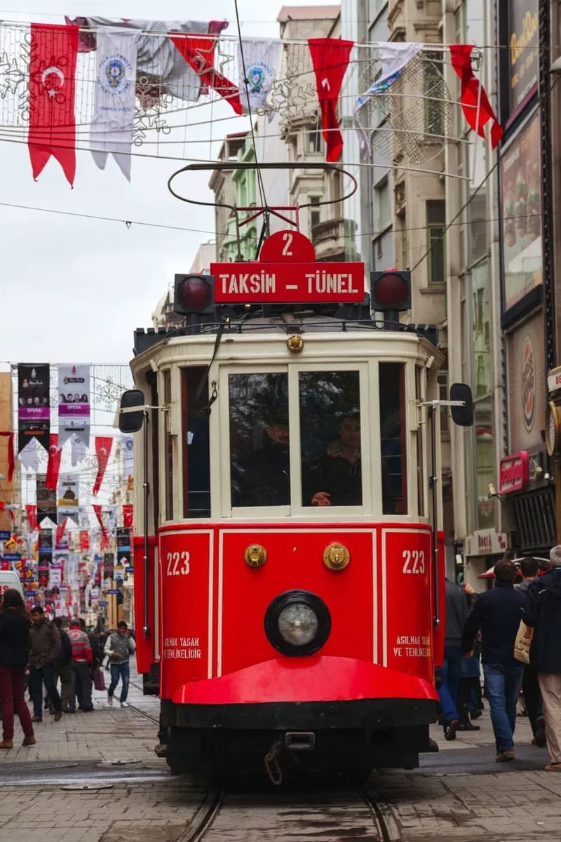
Istanbul's scale makes public transport essential. Rail lines and trams handle many central corridors, buses fill gaps, and ferries connect major piers across the Bosphorus and Golden Horn. The useful planning unit is a station or pier name, not a landmark alone. Sultanahmet and Eminönü sit on a heavily used tram corridor; Karaköy, Tünel, Şişhane and Taksim serve different levels of the Beyoğlu slope; Üsküdar and Kadıköy are major Asian-side hubs. Interchanges can involve walking, stairs and separate platforms, so allow more time than a simple line crossing suggests. Fare products, airport connections and service patterns change. Use the current official network map and alerts instead of old token prices or historic route descriptions. During busy periods, keep bags controlled and let crowded vehicles pass when the next service is close. Ferries deserve equal status with rail: they can be the clearest and most comfortable cross-strait link, while also orienting you to the city.
Useful to know
- Check the current official map and fare product before your first trip; old token guidance is obsolete.
- Use station and pier names when planning transfers, and allow walking time inside large interchanges.