
Why go
Geography explains why journeys between Japanese regions can feel so different. Mountain ranges, short rivers and long coasts shape where cities sit, while volcanic terrain and the Pacific setting influence what you see and how you move between islands on the ground.
The full story
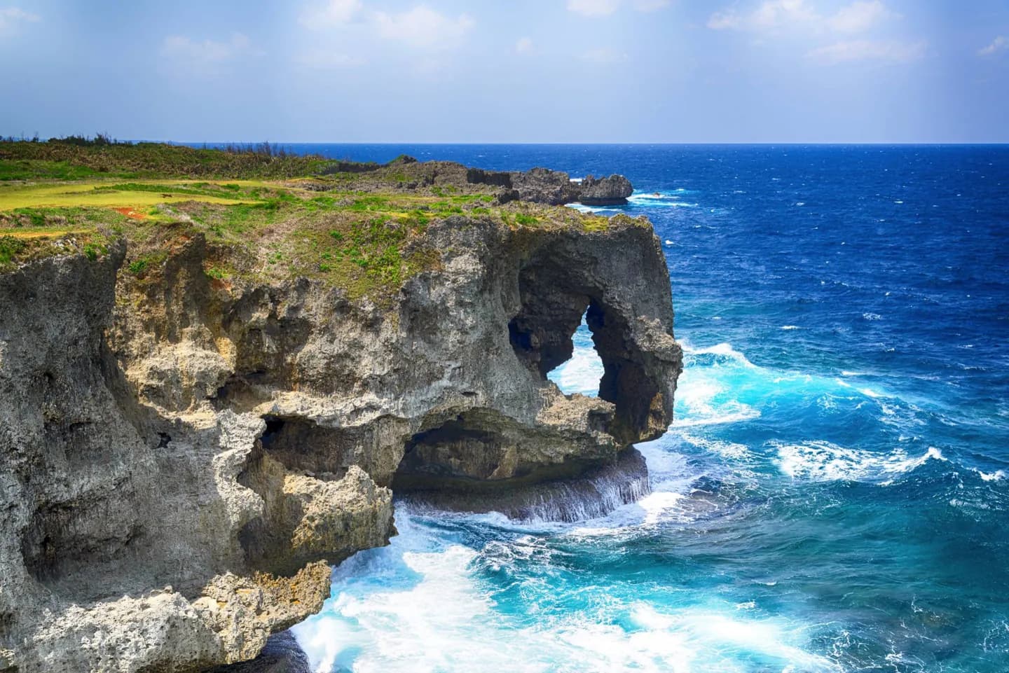
Japan is an archipelago whose main islands run from Hokkaidō in the north through Honshū, Shikoku and Kyūshū, with the Ryūkyū chain extending south toward Okinawa. That long north-to-south span is a useful starting point for trip planning: a mountain landscape in central Honshū and a subtropical island setting are different journeys. Much of the country is mountainous, so broad plains and major urban areas tend to lie along coasts and river lowlands. The Japanese Alps form a long mountain spine on Honshū, while Mount Fuji is the best-known volcanic peak. Japan lies on the Pacific Ring of Fire, where plate movement has shaped the islands and continues to make earthquakes and volcanic activity part of the physical landscape. Coasts, forests and highland terrain are not interchangeable scenery. Use the island and region to decide whether your trip is built around city corridors, mountain routes, northern winters or southern seas.