
Why go
The map is easier to read when you separate the ring of coastal places from the steep interior. Nathon sits on the northwest coast, while many visitor beaches and the airport lie farther east. Inland trips lead toward wooded slopes rather than another beach, and nearby islands require a boat journey rather than a short road transfer.
What to look for
- Khao Pom rises in the island's wooded center.
- The road around much of the coast connects distinct lowland settlements.
- Nathon occupies the northwest coast facing the mainland.
The full story
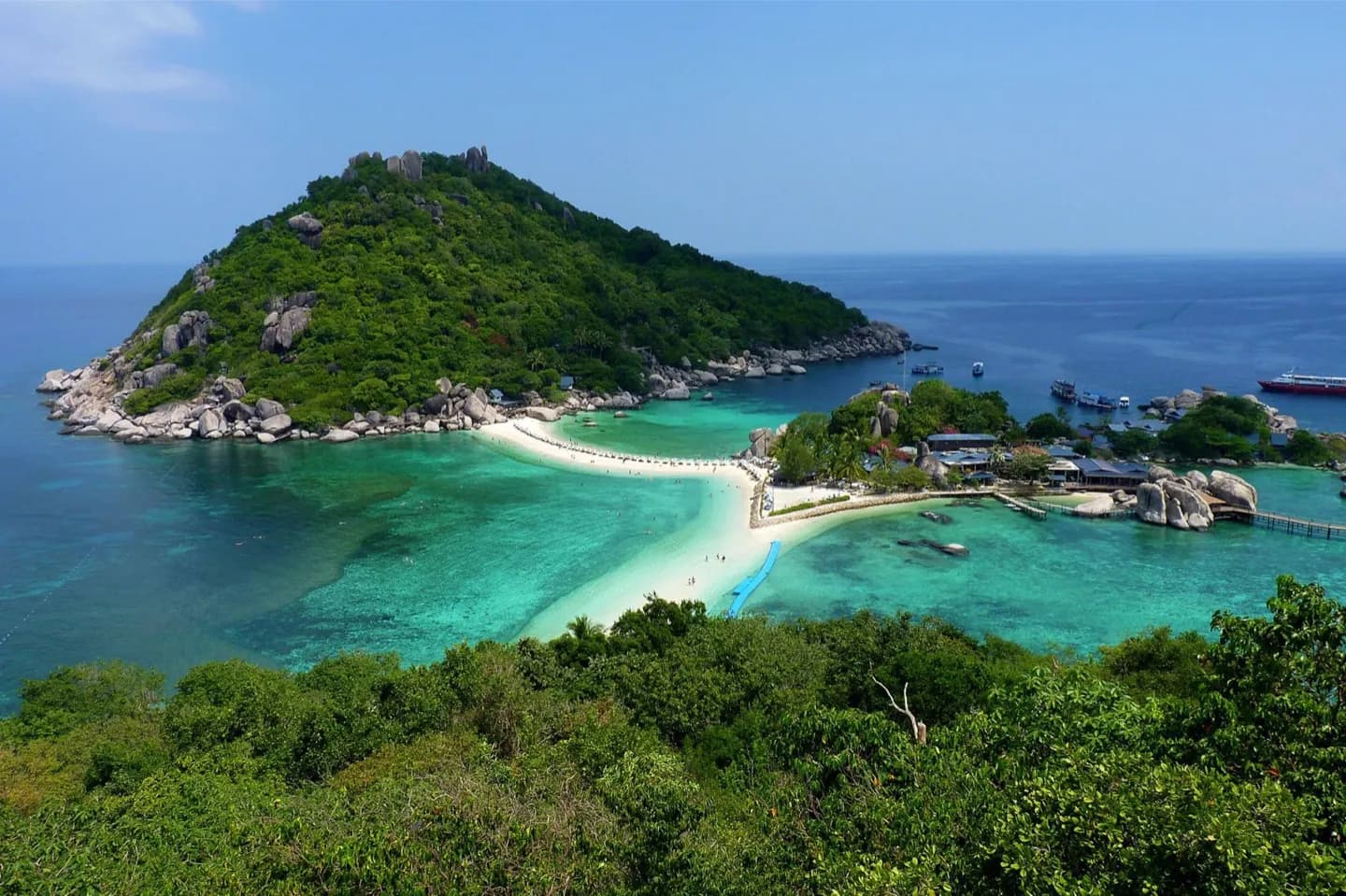
Ko Samui's shape matters more to a traveler than a list of measurements. Coastal lowlands hold beaches, settlements and the road that loops around much of the island. The center rises into wooded hills around Khao Pom, which interrupts direct travel between opposite shores. Nathon developed on the northwest side as a port and commercial center connected with the mainland. The northeast, including the airport area and visitor beaches, has a different pattern of movement and development. Offshore, Ko Pha Ngan, Ko Tao and the islands of Mu Ko Ang Thong National Park expand the map, but they are separate boat journeys. Ko Samui has a warm, humid climate, and rain can disrupt outdoor and sea plans. Leave flexibility for exposed beaches, inland paths and boats. Choose one side of the island as the focus of a short day, then use the coast road to connect nearby stops.
Useful to know
- Plan cross island stops by road route, not by straight line distance.
- Keep boat trips to nearby islands separate from a dense inland sightseeing day.