
Why go
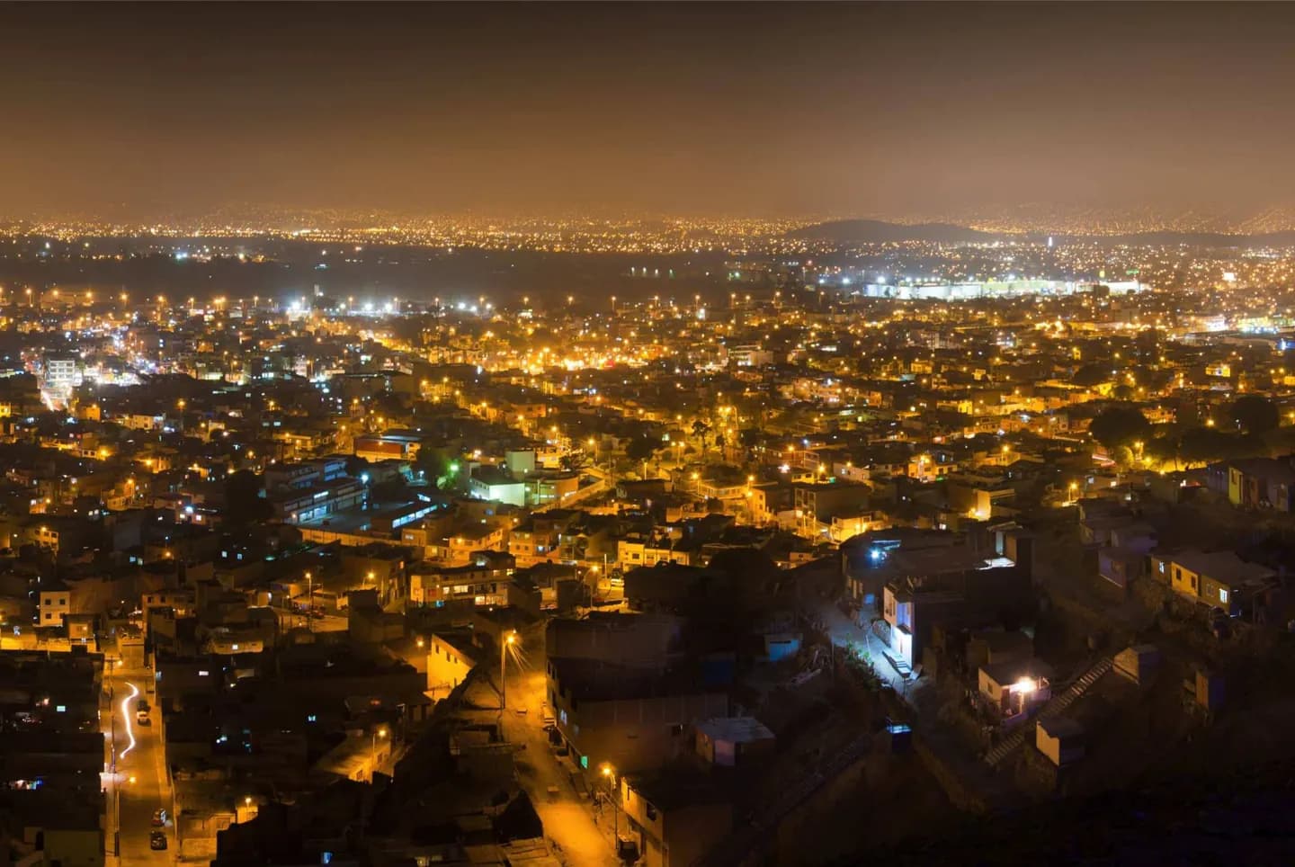
Understanding Lima's setting helps you choose a day that fits. The old civic center sits around Plaza Mayor, while Miraflores offers an archaeological site and coastal parks, and Barranco links streets, art and the shore. The urban area also joins Callao, the port, so a map can understate how far a cross-city plan reaches.
The full story
The Rímac valley gave the Spanish founders a site for their capital in 1535. They named it Ciudad de los Reyes, or City of the Kings. Lima later became the seat of the Viceroyalty of Peru and, after independence, the republic's capital. Those roles help explain the concentration of civic and religious buildings around Plaza Mayor. Yet the city is older than its colonial plan. Pre-Hispanic sites remain within the modern urban fabric, including the huaca at Pucllana in Miraflores. The valleys of the Chillón, Rímac and Lurín rivers meet a Pacific coastline, and the built-up area extends into Callao. For a visitor, this means the city's layers are spread across different districts: the Historic Centre tells one part of the story, while the museums of Pueblo Libre and the coastal neighborhoods tell others. Give each cluster its own time instead of treating Lima as a single compact center.