
Why go
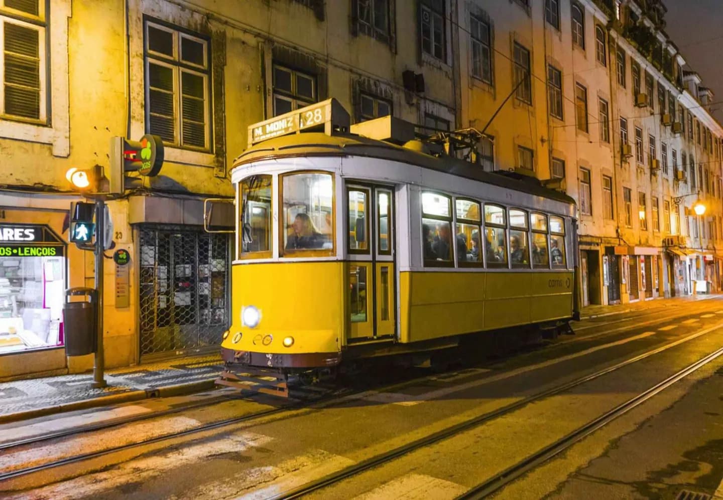
Knowing the network's shape makes Lisbon easier to read. The metro links the centre with upper and eastern districts, while small yellow trams are suited to steep, narrow central streets. Rail stations divide regional directions, and ferries connect the city with the far side of the Tagus. Use the mode that matches the geography instead of treating every journey as a metro trip.
The full story
Lisbon's transport reflects the city’s hills, its long riverfront and its links with the surrounding region. The metro is the main rapid-transit spine, connecting central Lisbon with higher and eastern districts. Above ground, buses fill in the network and trams take advantage of vehicles small enough for the steep, narrow streets of the older centre; the traditional yellow cars remain a defining part of the streetscape away from modern Line 15. Funiculars and the Santa Justa lift address changes in level that are obvious on foot. Regional rail works from several stations rather than one hub: Santa Apolónia, Rossio, Gare do Oriente and Cais do Sodré each point toward different corridors. The Tagus is also a transport route, with ferries linking Lisbon to towns on the opposite bank. Together, these modes explain why the quickest route can change sharply between a central hill, the eastern waterfront and a cross-river destination.
Useful to know
- Use the metro for the centre, upper districts and east; use trams and buses for streets beyond it.
- Match your regional train to its station: Santa Apolónia, Rossio, Oriente or Cais do Sodré.
- Check operators for current routes, transfers and service changes before a cross-river trip.