
Why go
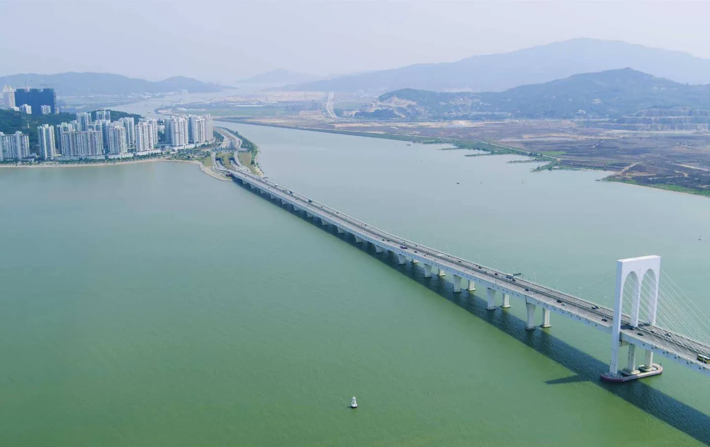
The bridge shows how the peninsula and Taipa were first linked by road in the 1970s. Its long, arched rise over the water is a useful sight from the shore, and the designated footpath allows a closer look. The visit is mainly about the crossing and the geography it reveals, not a destination at either end.
What to look for
- The bridge rises in a pronounced central arch for passing vessels.
- It links the Macau Peninsula with Taipa across open water.
- A designated pedestrian footpath runs along the bridge.
Useful to know
- For a full walk, allow for an exposed crossing of about 2.6 kilometres.
- Use the designated footpath and face oncoming traffic.
- Check current traffic notices for temporary restrictions before walking.
Your next visit
Estimated · Declared scenario and planning estimates; no live opening, weather, queue or booking service.
Outdoor visit · 30–45 min
World planning estimate; admission, opening, visit duration and access need checking.