
Why go
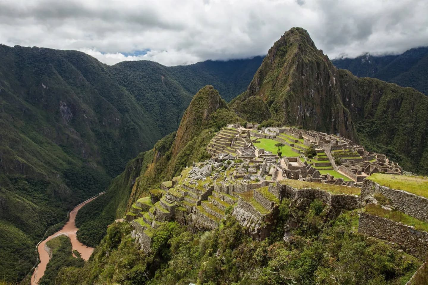
The valley explains why terraces, canals and settlements appear together along this mountain corridor. Near the river's lower course, Patallaqta is part of a wider worked landscape, not a lone ruin. Keep the river and slopes in view when studying the Inca Trail area; the terrain makes the choices behind irrigation and cultivation easier to understand.
The full story
The Kusichaka begins in the Willkapampa mountains east of Salkantay and flows northeast toward the Willkanuta River. Villages and archaeological remains lie along its course. Before the confluence, the river passes Patallaqta, connecting that site with the valley's agricultural setting. The valley has been studied for evidence of Inca farming. Terraces made use of steep slopes, while irrigation channels directed water to land that could be cultivated. These are practical structures, but they also show the work required to support communities and movement through the mountains. Looking across a valley rather than at one wall or building makes that relationship clearer. The Cusichaca Project brought sustained archaeological study to the area and later work on rehabilitating traditional terraces and canals with highland communities. The valley's interest is therefore both historical and practical: its surviving landforms explain how agriculture could function in this terrain. It is best understood as context for the river corridor and nearby sites, rather than as a single marked attraction with a fixed visitor route.